Lidderdale — Flagstaff
Lidderdale — Shelbyville
Lidderdale — Friday Harbor
Lidderdale — Drums
Lidderdale — Sarasota
Lidderdale — New Castle
Lidderdale — Mora
Lidderdale — Fort Stanton
Lidderdale — Smithwick
Lidderdale — Lachine
Lidderdale — Markham
Lidderdale — Chimney Rock
Lidderdale — Plattsmouth
Lidderdale — Palmyra
Lidderdale — Woonsocket
Lidderdale — East Norwich
Lidderdale — Beaumont
Lidderdale — Poy Sippi
Lidderdale — Thomson
Johnston
Clive
Des Moines
Bondurant
Santiago
Grinnell
Ladora
Conroy
Coralville
Iowa City
Stockton
Walcott
Davenport
Rock Island
Terminal, MLI
East Moline
Colona
Geneseo
Annawan
Buda
Wyanet
Bureau County
Seatonville
LaSalle
Ottawa Airport
Ottawa
Marseilles
Minooka
Channahon
Joliet
Mokena
Tinley Park
Hazel Crest
Markham
South Holland
Munster
Hammond
Griffith
Gary
Hobart
Chesterton
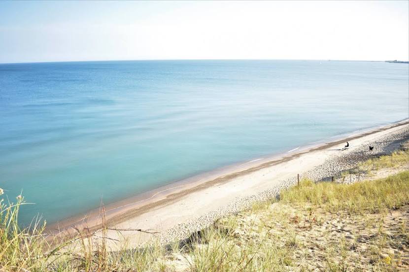
Lidderdale — Michigan City distance, route on the map
Distance by car
Distance between Lidderdale, Iowa, United States and Michigan City, Indiana, United States by car is — km, or miles. To travel this distance by car, you need minute, or h.
Route on the map, driving directions
Car route Lidderdale — Michigan City was created automatically. The road on the map is shown as a blue line. By moving the markers, you can create a new route through the points you need.
Passing cities through which the car route passes: Rippey, Johnston, Clive, Des Moines, Bondurant, Santiago, Grinnell, Ladora, Conroy, Coralville, Iowa City, Stockton, Walcott, Davenport, Rock Island, Terminal, MLI, East Moline, Colona, Geneseo, Annawan, Buda, Wyanet, Bureau County, Seatonville, LaSalle, Ottawa Airport, Ottawa, Marseilles, Minooka, Channahon, Joliet, Mokena, Tinley Park, Hazel Crest, Markham, South Holland, Munster, Hammond, Griffith, Gary, Hobart, Chesterton.
Distance by plane
If you decide to take a trip Lidderdale Michigan City by plane, then you have to fly the distance — 654 km or 405 miles. It is marked on the map with a gray line (between two points in a straight line).
Flight time
Estimated flight time Lidderdale Michigan City by plane at cruising speed 750 km / h will be — 52 min.
Direction of movement
United States, Lidderdale — right-hand traffic. United States, Michigan City — right-hand traffic.
Difference in time
Lidderdale and Michigan City are in the same time zone. Between them there is no time difference (UTC -5 America/Chicago).
Interesting Facts
Information on alternative ways to get to your destination.
The length of this distance is about 1.6% of the total length of the equator.
The percentage of the population is clearly shown in the graph:
Lidderdale — 176 (less by 31,727), Michigan City — 31,903 residents.
The cost of travel
Calculate the cost of the trip yourself using the fuel consumption calculator, changing the data in the table.