
 Korsun'
Kaharlyk
Korsun'
Kaharlyk  Hostomel'
Dzerzhyns'k
Solonytsivka
Bykiv
Voroniv
Komysh
Stul'neve
Chornobai
Shkarivka
Komyshany
Shabo
Mysy
Buryn'
Berezhany
Pidhirtsi
Chortkiv
Lutuhyne
Hostomel'
Dzerzhyns'k
Solonytsivka
Bykiv
Voroniv
Komysh
Stul'neve
Chornobai
Shkarivka
Komyshany
Shabo
Mysy
Buryn'
Berezhany
Pidhirtsi
Chortkiv
Lutuhyne
Poltava on the map, Ukraine
Where is located Poltava
Exact location — Poltava, Poltavs'ka oblast, Ukraine, marked on the map with a red marker.
Coordinates
Poltava, Ukraine coordinates in decimal format: latitude — 49.588267, longitude — 34.551417. When converted to degrees, minutes, seconds Poltava has the following coordinates: 49°35′17.76 north latitude and 34°33′5.1 east longitude.
Population
Poltava, Poltavs'ka oblast, Ukraine, according to our data the population is — 317,847 residents, which is about 0.7% of the total population of the country (Ukraine).
Comparison of the population on the graph:
Exact time
Time zone for this location Poltava — UTC +3 Europe/Kiev. Exact time — sunday, 7 july 2024 year, 05 h. 40 minutes.
Sunrise and sunset
Poltava, sunrise and sunset data for a date — sunday 14.07.2024.
| Sunrise | Sunset | Day (duration) |
|---|---|---|
| 04:55 +1 minute | 20:40 -1 minute | 15 h. 48 minutes. -2 minutes |
You can control the scale of the map using the auxiliary tools to find out exactly where it is located Poltava. When you change the scale of the map, the width of the ruler also changes (in kilometers and miles).
Nearby cities
The largest cities that are located nearby:
- Kremenchuk — 101 km
- Dniprodzerzhyns'k — 118 km
- Sumy — 147 km
- Pavlohrad — 153 km
- Cherkasy — 180 km
- Belgorod
 (Russia) — 182 km
 - Kryvyi Rih — 204 km
- Kirovohrad — 206 km
- Nikopol' — 224 km
- Kursk (Russia) — 259 km
- Horlivka — 292 km
- Donetsk — 297 km
- Chernihiv — 308 km
- Melitopol' — 311 km
- Bila Tserkva — 317 km
- Alchevs'k — 335 km
- Berdyans'k — 356 km
- Kherson — 358 km
- Luhansk — 366 km
Distance to neighboring capitals:
- Chisinau
 (Moldova) — 506 km
 - Minsk
 (Belarus) — 679 km
 - Moscow (Russia) — 716 km
- Vilnius
 (Lithuania) — 849 km
 - Bucharest
 (Romania) — 859 km
 - Warsaw
 (Poland) — 992 km
 - Rīga
 (Latvia) — 1072 km
 - Sofia
 (Bulgaria) — 1154 km
 - Budapest
 (Hungary) — 1163 km
 - Tbilisi
 (Georgia) — 1181 km
 - Belgrade
 (Serbia) — 1190 km
 - Bratislava
 (Slovakia) — 1283 km
 - Helsinki
 (Finland) — 1325 km
 - Vienna
 (Austria) — 1335 km
 - Prague
 (Czech Republic) — 1440 km
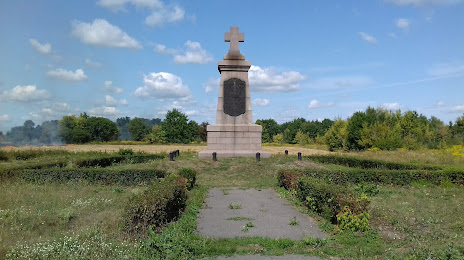
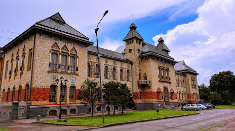
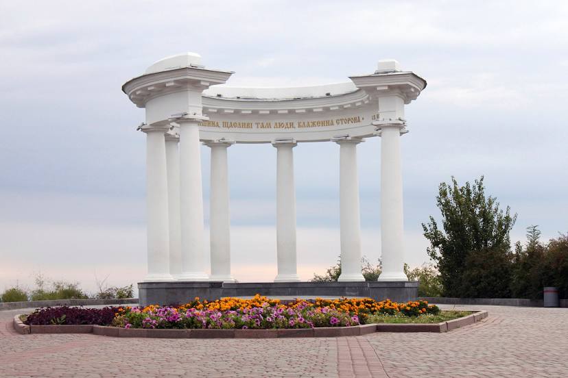
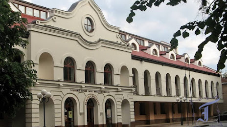
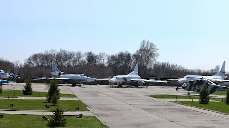
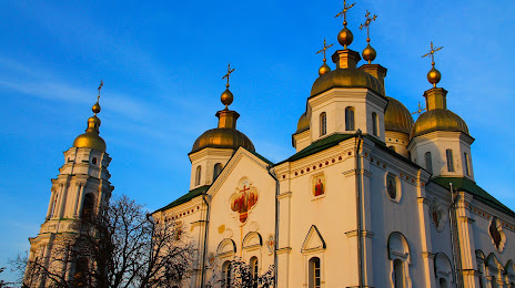
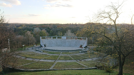
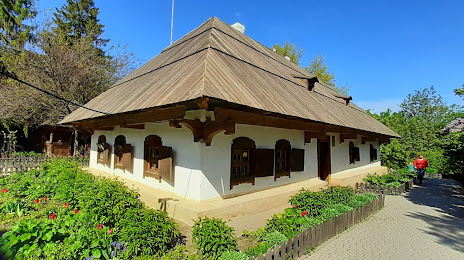
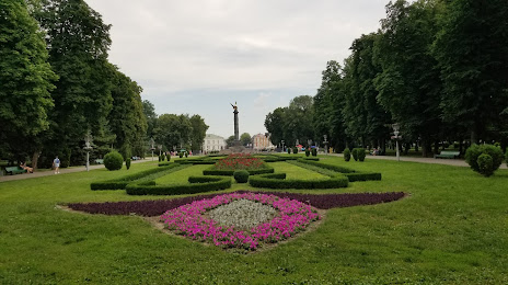
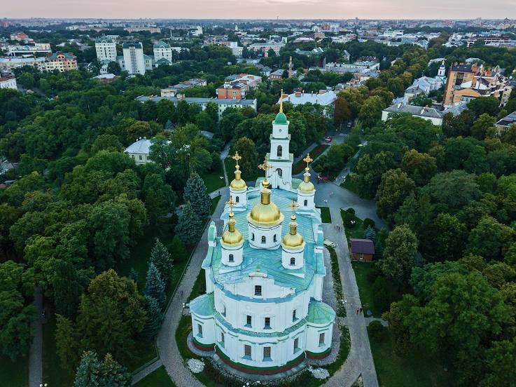
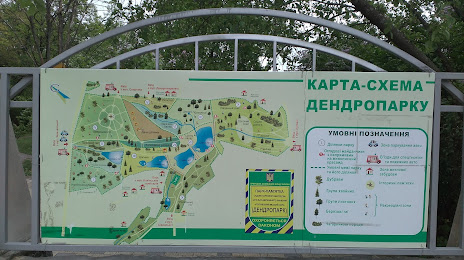
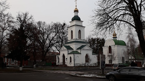
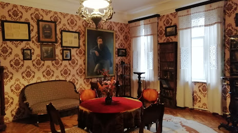
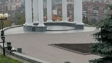
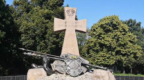
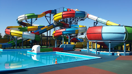
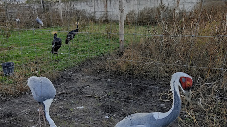
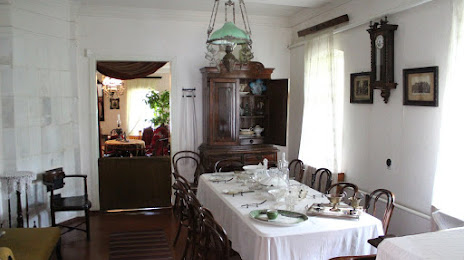
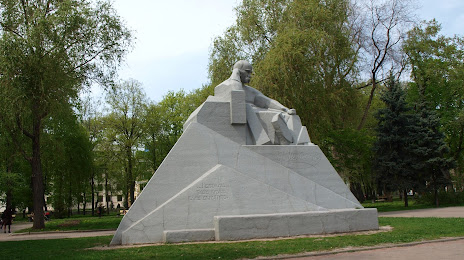
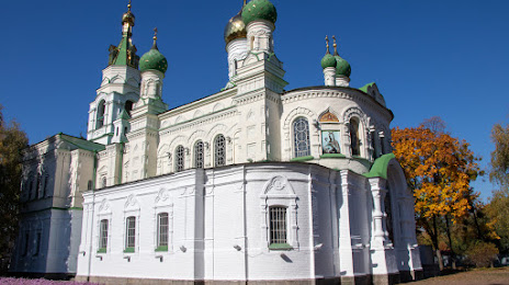
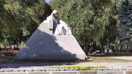
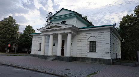
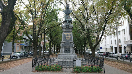
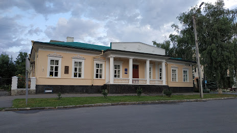
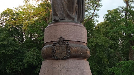
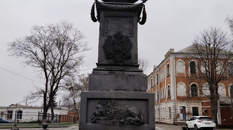
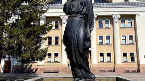
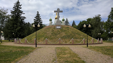
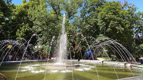
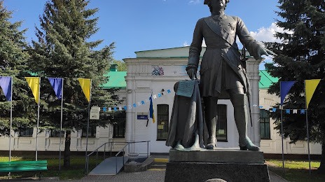
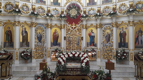
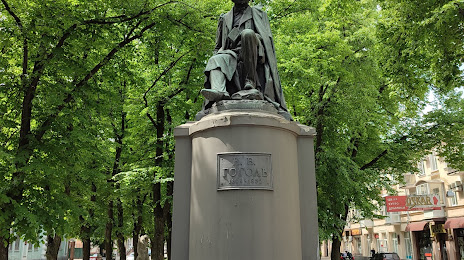
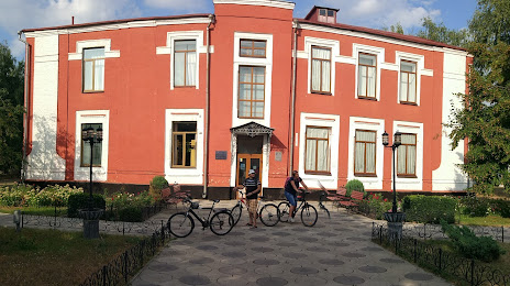
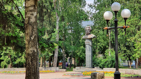
Attractions


Distance to the capital
Distance to the capital (Kyiv) is about — 303 km.