
 Tamelalt
Centre Mikkess
Aghelad
Sebt Gzoula
Melilla
Tnine Ourika
Amezri
Centre Commune Ouled Zidane
Berkane Province
Tamelalt
Centre Mikkess
Aghelad
Sebt Gzoula
Melilla
Tnine Ourika
Amezri
Centre Commune Ouled Zidane
Berkane Province
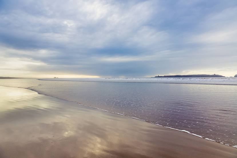
Plage Tagharte on the map, Essaouira, Morocco
Photo
Where is located Plage Tagharte
Plage Tagharte — local attraction, which is located at no data and belongs to the category — -. Average visitor rating for this place — 4.5 (according to 71 rating, information from open sources and relevant for 2022).
Exact location — Plage Tagharte, marked on the map with a red marker.
You can get directions to Plage Tagharte on the map from your location.
What else is interesting in Essaouira? You can see all the sights if you go to the city page.
Coordinates
Plage Tagharte, Morocco coordinates in decimal format: latitude — 31.500227791509335, longitude — -9.768438978731359. When converted to degrees, minutes, seconds Plage Tagharte has the following coordinates: 31°30′0.82 north latitude and -9°46′6.38 east longitude.
Nearby cities
The largest cities that are located nearby:
- Safi — 101 km
- Agadir — 120 km
- Marrakesh — 165 km
- El Jadida — 223 km
- Ouarzazate — 275 km
- Casablanca — 303 km
- Azilal — 303 km
- Khouribga — 304 km
- Mohammedia — 325 km
- Temara — 374 km
- Sale — 391 km
- Khenifra — 411 km
- Kenitra — 420 km
- Khemisset — 424 km
- Meknes — 467 km
- Taounate — 574 km
- Tangier — 587 km
- Tetouan — 598 km
- Taza — 604 km
Distance to the capital
Distance to the capital (Rabat) is about — 387 km.