
 Casablanca
Rabat International Airport
MEK
مطار أكادير المسيرة الدولي
Marrakech Menara Airport
Khemisset
Tangier Ibn Battouta Airport
Fes-Saïss Airport
Essaouira Mogador Airport
Erfoud
Guercif
Asilah
Aoulouz
Oualidia
Bouznika
Chefchaouen
Tantan
Skhirat
Taza
Casablanca
Rabat International Airport
MEK
مطار أكادير المسيرة الدولي
Marrakech Menara Airport
Khemisset
Tangier Ibn Battouta Airport
Fes-Saïss Airport
Essaouira Mogador Airport
Erfoud
Guercif
Asilah
Aoulouz
Oualidia
Bouznika
Chefchaouen
Tantan
Skhirat
Taza
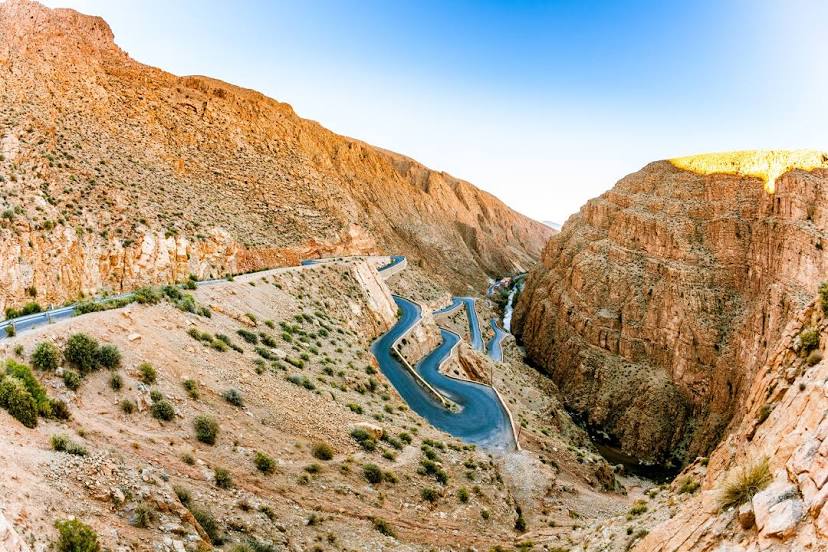
Tinghir on the map, Morocco
Where is located Tinghir
Exact location — Tinghir, Province de Tinghir, Souss-Massa-Draa, Morocco, marked on the map with a red marker.
Coordinates
Tinghir, Morocco coordinates in decimal format: latitude — 31.514722, longitude — -5.532778. When converted to degrees, minutes, seconds Tinghir has the following coordinates: 31°30′53 north latitude and -5°31′58 east longitude.
Population
Tinghir, Province de Tinghir, Souss-Massa-Draa, Morocco, according to our data the population is — 36,388 residents, which is about 0.1% of the total population of the country (Morocco).
Comparison of the population on the graph:
Exact time
Time zone for this location Tinghir — UTC +1 Africa/Casablanca. Exact time — tuesday, 7 july 2024 year, 23 h. 57 minutes.
Sunrise and sunset
Tinghir, sunrise and sunset data for a date — tuesday 2.07.2024.
| Sunrise | Sunset | Day (duration) |
|---|---|---|
| 06:24 -0 minutes | 20:27 -1 minute | 14 h. 6 minutes. -1 minute |
You can control the scale of the map using the auxiliary tools to find out exactly where it is located Tinghir. When you change the scale of the map, the width of the ruler also changes (in kilometers and miles).
Nearby cities
The largest cities that are located nearby:
- Azilal — 109 km
- Ouarzazate — 148 km
- Khenifra — 158 km
- Khouribga — 199 km
- Marrakesh — 233 km
- Khemisset — 259 km
- Meknes — 263 km
- Mohammedia — 294 km
- Temara — 295 km
- Casablanca — 296 km
- Sale — 301 km
- Béchar
 (Algeria) — 313 km
 - Kenitra — 317 km
- Taza — 329 km
- El Jadida — 334 km
- Taounate — 344 km
- Safi — 356 km
- Essaouira — 398 km
- Agadir — 406 km
Distance to neighboring capitals:
- Lisbon
 (Portugal) — 866 km
 - Madrid
 (Spain) — 1004 km
 - Tunis
 (Tunisia) — 1559 km
 - Tripoli
 (Libya) — 1766 km
 - Paris
 (France) — 2039 km
 - Bamako
 (Mali) — 2113 km
Attractions


Distance to the capital
Distance to the capital (Rabat) is about — 300 km.