South Bend — Orange County
South Bend — Banner County
South Bend — Scipio
South Bend — Colebrook
South Bend — Windyville
South Bend — Ringwood
South Bend — Blountsville
South Bend — Commack
South Bend — Beulah Field
South Bend — Guinda
South Bend — Carterville
South Bend — Satsop
South Bend — Rotterdam
South Bend — Hanover
South Bend — Okanogan
South Bend — Perrysburg
South Bend — Repton
South Bend — Jackson
South Bend — North Bennington
La Porte
Long Beach
Michigan City
Chesterton
Hobart
Gary
Griffith
Hammond
Munster
South Holland
Markham
Hazel Crest
Tinley Park
Mokena
Joliet
Channahon
Minooka
Marseilles
Ottawa
Ottawa Airport
LaSalle
Seatonville
Bureau County
Wyanet
Buda
Annawan
Geneseo
Colona
East Moline
Terminal, MLI
Rock Island
Davenport
Walcott
Stockton
Iowa City
Coralville
Conroy
Ladora
Grinnell
Santiago
Bondurant
Des Moines
Windsor Heights
Clive
Waukee
Earlham
Stuart
Anita
Neola
McClelland
Council Bluffs
Omaha
Omaha
Gretna
Sarpy County
South Bend
Lincoln
Pleasant Dale
Beaver Crossing
York
Aurora
Giltner
Alda
Gibbon
Kearney
Lexington
Cozad
Gothenburg
North Platte
Hershey
Ogallala
Julesburg
Iliff
Sterling
Merino
Hillrose
Brush
Fort Morgan
Wiggins
Roggen
Keenesburg
Hudson
Brighton
Henderson
Thornton
North Washington
Westminster
Arvada
Wheat Ridge
Denver
Morrison
Golden
Evergreen
Idaho Springs
Georgetown
Silver Plume
Dillon
Silverthorne
Copper Mountain
Vail
Vail
Minturn
Avon
Eagle
Gypsum
Glenwood Springs
New Castle
Silt
Rifle
Battlement Mesa
Parachute
De Beque
Palisade
Grand Junction Regional Airport
Fruita
Grand County
Sevier
Parowan
Enoch
Cedar City
Toquerville
Washington
Saint George
Mesquite
Jackman
Las Vegas
North Las Vegas
Las Vegas
Las Vegas
Las Vegas
McCarran International Airport
Jean Airport
Primm
Baker Airport
Yermo
Daggett
Barstow
Hutt
Oro Grande
Victorville
Hesperia
Cajon Junction
Lytle Creek
Fontana
Rancho Cucamonga
LA/Ontario International Airport
Ontario
Norco
Corona
Yorba Linda
Foothill Ranch
Irvine
Lake Forest
Laguna Woods
Laguna Hills
Mission Viejo
Mission Viejo
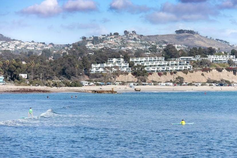
San Juan Capistrano
South Bend — Orange County
South Bend — Banner County
South Bend — Scipio
South Bend — Colebrook
South Bend — Windyville
South Bend — Ringwood
South Bend — Blountsville
South Bend — Commack
South Bend — Beulah Field
South Bend — Guinda
South Bend — Carterville
South Bend — Satsop
South Bend — Rotterdam
South Bend — Hanover
South Bend — Okanogan
South Bend — Perrysburg
South Bend — Repton
South Bend — Jackson
South Bend — North Bennington
La Porte
Long Beach
Michigan City
Chesterton
Hobart
Gary
Griffith
Hammond
Munster
South Holland
Markham
Hazel Crest
Tinley Park
Mokena
Joliet
Channahon
Minooka
Marseilles
Ottawa
Ottawa Airport
LaSalle
Seatonville
Bureau County
Wyanet
Buda
Annawan
Geneseo
Colona
East Moline
Terminal, MLI
Rock Island
Davenport
Walcott
Stockton
Iowa City
Coralville
Conroy
Ladora
Grinnell
Santiago
Bondurant
Des Moines
Windsor Heights
Clive
Waukee
Earlham
Stuart
Anita
Neola
McClelland
Council Bluffs
Omaha
Omaha
Gretna
Sarpy County
South Bend
Lincoln
Pleasant Dale
Beaver Crossing
York
Aurora
Giltner
Alda
Gibbon
Kearney
Lexington
Cozad
Gothenburg
North Platte
Hershey
Ogallala
Julesburg
Iliff
Sterling
Merino
Hillrose
Brush
Fort Morgan
Wiggins
Roggen
Keenesburg
Hudson
Brighton
Henderson
Thornton
North Washington
Westminster
Arvada
Wheat Ridge
Denver
Morrison
Golden
Evergreen
Idaho Springs
Georgetown
Silver Plume
Dillon
Silverthorne
Copper Mountain
Vail
Vail
Minturn
Avon
Eagle
Gypsum
Glenwood Springs
New Castle
Silt
Rifle
Battlement Mesa
Parachute
De Beque
Palisade
Grand Junction Regional Airport
Fruita
Grand County
Sevier
Parowan
Enoch
Cedar City
Toquerville
Washington
Saint George
Mesquite
Jackman
Las Vegas
North Las Vegas
Las Vegas
Las Vegas
Las Vegas
McCarran International Airport
Jean Airport
Primm
Baker Airport
Yermo
Daggett
Barstow
Hutt
Oro Grande
Victorville
Hesperia
Cajon Junction
Lytle Creek
Fontana
Rancho Cucamonga
LA/Ontario International Airport
Ontario
Norco
Corona
Yorba Linda
Foothill Ranch
Irvine
Lake Forest
Laguna Woods
Laguna Hills
Mission Viejo
Mission Viejo
San Juan Capistrano
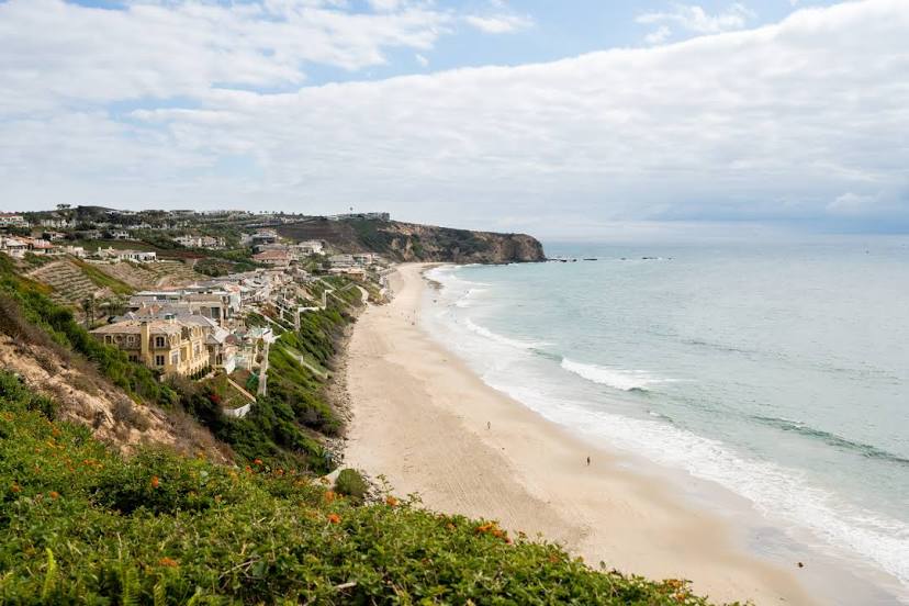
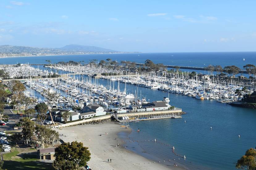
South Bend — Dana Point distance, route on the map
Distance by car
Distance between South Bend, Indiana, United States and Dana Point, California, United States by car is — km, or miles. To travel this distance by car, you need minute, or h.
Route on the map, driving directions
Car route South Bend — Dana Point was created automatically. The road on the map is shown as a blue line. By moving the markers, you can create a new route through the points you need.
Passing cities through which the car route passes: Rolling Prairie, La Porte, Long Beach, Michigan City, Chesterton, Hobart, Gary, Griffith, Hammond, Munster, South Holland, Markham, Hazel Crest, Tinley Park, Mokena, Joliet, Channahon, Minooka, Marseilles, Ottawa, Ottawa Airport, LaSalle, Seatonville, Bureau County, Wyanet, Buda, Annawan, Geneseo, Colona, East Moline, Terminal, MLI, Rock Island, Davenport, Walcott, Stockton, Iowa City, Coralville, Conroy, Ladora, Grinnell, Santiago, Bondurant, Des Moines, Windsor Heights, Clive, Waukee, Earlham, Stuart, Anita, Neola, McClelland, Council Bluffs, Omaha, Omaha, Gretna, Sarpy County, South Bend, Lincoln, Pleasant Dale, Beaver Crossing, York, Aurora, Giltner, Alda, Gibbon, Kearney, Lexington, Cozad, Gothenburg, North Platte, Hershey, Ogallala, Julesburg, Iliff, Sterling, Merino, Hillrose, Brush, Fort Morgan, Wiggins, Roggen, Keenesburg, Hudson, Brighton, Henderson, Thornton, North Washington, Westminster, Arvada, Wheat Ridge, Denver, Morrison, Golden, Evergreen, Idaho Springs, Georgetown, Silver Plume, Dillon, Silverthorne, Copper Mountain, Vail, Vail, Minturn, Avon, Eagle, Gypsum, Glenwood Springs, New Castle, Silt, Rifle, Battlement Mesa, Parachute, De Beque, Palisade, Grand Junction Regional Airport, Fruita, Grand County, Sevier, Parowan, Enoch, Cedar City, Toquerville, Washington, Saint George, Mesquite, Jackman, Las Vegas, North Las Vegas, Las Vegas, Las Vegas, Las Vegas, McCarran International Airport, Jean Airport, Primm, Baker Airport, Yermo, Daggett, Barstow, Hutt, Oro Grande, Victorville, Hesperia, Cajon Junction, Lytle Creek, Fontana, Rancho Cucamonga, LA/Ontario International Airport, Ontario, Norco, Corona, Yorba Linda, Foothill Ranch, Irvine, Lake Forest, Laguna Woods, Laguna Hills, Mission Viejo, Mission Viejo, San Juan Capistrano.
Distance by plane
If you decide to take a trip South Bend Dana Point by plane, then you have to fly the distance — 2900 km or 1798 miles. It is marked on the map with a gray line (between two points in a straight line).
Flight time
Estimated flight time South Bend Dana Point by plane at cruising speed 750 km / h will be — 3 h. and 52 min.
Direction of movement
United States, South Bend — right-hand traffic. United States, Dana Point — right-hand traffic.
Difference in time
South Bend and Dana Point are in different time zones. The time difference is 3 hours (UTC -4 America/New_York, UTC -7 America/Los_Angeles).
Interesting Facts
Information on alternative ways to get to your destination.
The length of this distance is about 7.2% of the total length of the equator.
The percentage of the population is clearly shown in the graph:
South Bend — 103,760, Dana Point — 35,870 residents (less by 67,890).
The cost of travel
Calculate the cost of the trip yourself using the fuel consumption calculator, changing the data in the table.