Jacksonville — Elim
Jacksonville — Longview
Jacksonville — Stambaugh Airport
Jacksonville — Sparks
Jacksonville — Delphos
Jacksonville — Napakiak
Jacksonville — Nanjemoy
Jacksonville — Melville
Jacksonville — Sweet Grass
Jacksonville — Boylston
Jacksonville — Cumberland
Jacksonville — Lanesboro
Jacksonville — San Diego
Jacksonville — South Solon
Jacksonville — West Covina
Jacksonville — Lomita
Jacksonville — Clayton
Jacksonville — Slana
Jacksonville — Dillsboro
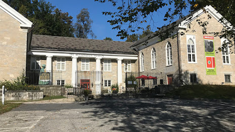
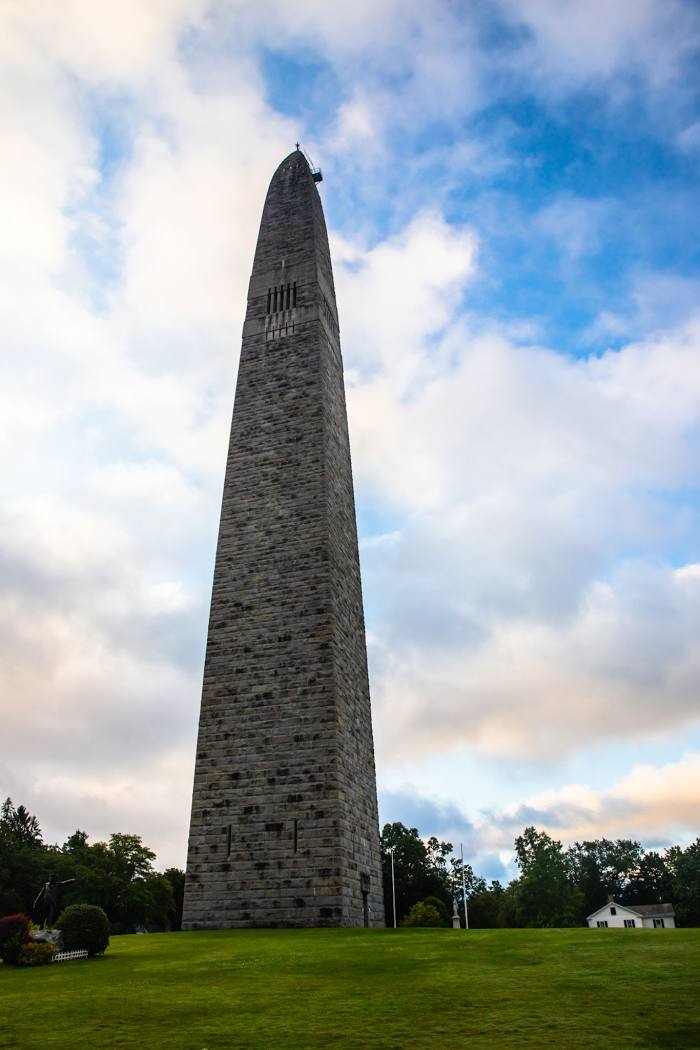
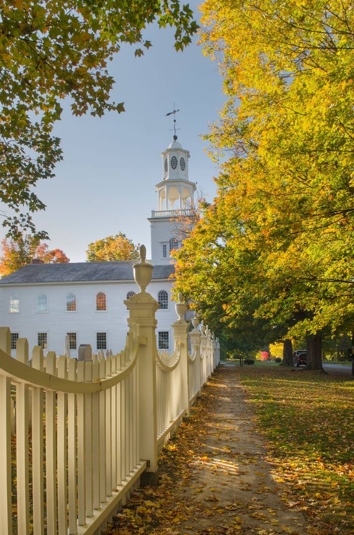
Jacksonville — Bennington distance, route on the map
Distance by car
Distance between Jacksonville, Florida, United States and Bennington, Vermont, United States by car is — km, or miles. To travel this distance by car, you need minute, or h.
Route on the map, driving directions
Car route Jacksonville — Bennington was created automatically. The road on the map is shown as a blue line. By moving the markers, you can create a new route through the points you need.
Distance by plane
If you decide to take a trip Jacksonville Bennington by plane, then you have to fly the distance — 1585 km or 983 miles. It is marked on the map with a gray line (between two points in a straight line).
Flight time
Estimated flight time Jacksonville Bennington by plane at cruising speed 750 km / h will be — 2 h. and 6 min.
Direction of movement
United States, Jacksonville — right-hand traffic. United States, Bennington — right-hand traffic.
Difference in time
Jacksonville and Bennington are in the same time zone. Between them there is no time difference (UTC -4 America/New_York).
Interesting Facts
Information on alternative ways to get to your destination.
The length of this distance is about 4.0% of the total length of the equator.
The percentage of the population is clearly shown in the graph:
Jacksonville — 797,557, Bennington — 18,272 residents (less by 779,285).
The cost of travel
Calculate the cost of the trip yourself using the fuel consumption calculator, changing the data in the table.