Strongsville — San Francisco County
Strongsville — Sunnyvale
Strongsville — Antwerp
Strongsville — Lyons
Strongsville — Custer
Strongsville — Herington
Strongsville — Black Mountain
Strongsville — Windham
Strongsville — Leisenring
Strongsville — Moran
Strongsville — Lester
Strongsville — Rougemont
Strongsville — Mill Valley
Strongsville — Dixfield
Strongsville — Carbondale
Strongsville — Ocotillo
Strongsville — Palomas
Strongsville — Huntington
Strongsville — Watertown Regional Airport
Berea
North Olmsted
North Ridgeville
Elyria
Berlin Heights
Milan Township
Sandusky
Vickery
Sandusky County
Lindsey
Elmore
Stony Ridge
Perrysburg
Maumee
Toledo Express Airport
Swanton
Delta
Wauseon
Archbold
Kunkle
Montpelier
Fremont
Glen Eden
Mongo
Sturgis
Middlebury
Bristol
Elkhart
Granger
Notre Dame
Roseland
Galien
Rolling Prairie
La Porte
Westville
Chesterton
Hobart
Gary
Griffith
Hammond
Munster
South Holland
Markham
Hazel Crest
Tinley Park
Mokena
Joliet
Channahon
Minooka
Marseilles
Ottawa
Ottawa Airport
LaSalle
Seatonville
Bureau County
Wyanet
Buda
Annawan
Geneseo
Colona
East Moline
Terminal, MLI
Rock Island
Davenport
Walcott
Stockton
Iowa City
Coralville
Conroy
Ladora
Grinnell
Santiago
Bondurant
Des Moines
Windsor Heights
Clive
Waukee
Earlham
Stuart
Anita
Neola
McClelland
Council Bluffs
Omaha
Omaha
Gretna
Sarpy County
South Bend
Lincoln
Pleasant Dale
Beaver Crossing
York
Aurora
Giltner
Alda
Gibbon
Kearney
Lexington
Cozad
Gothenburg
North Platte
Hershey
Ogallala
Julesburg
Iliff
Sterling
Merino
Hillrose
Brush
Fort Morgan
Wiggins
Roggen
Keenesburg
Hudson
Brighton
Henderson
Thornton
North Washington
Westminster
Arvada
Wheat Ridge
Denver
Morrison
Golden
Evergreen
Idaho Springs
Georgetown
Silver Plume
Dillon
Silverthorne
Copper Mountain
Vail
Vail
Minturn
Avon
Eagle
Gypsum
Glenwood Springs
New Castle
Silt
Rifle
Battlement Mesa
Parachute
De Beque
Palisade
Grand Junction Regional Airport
Fruita
Grand County
Sevier
Parowan
Enoch
Cedar City
Toquerville
Washington
Saint George
Mesquite
Jackman
Las Vegas
North Las Vegas
Las Vegas
Las Vegas
Las Vegas
McCarran International Airport
Jean Airport
Primm
Baker Airport
Yermo
Daggett
Barstow
Hutt
Hinkley
Boron
Mojave
Tehachapi
Tehachapi
Lamont
Wheeler Ridge
Santa Maria
Arroyo Grande
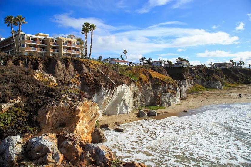
Strongsville — Grover Beach distance, route on the map
Distance by car
Distance between Strongsville, Ohio, United States and Grover Beach, California, United States by car is — km, or miles. To travel this distance by car, you need minute, or h.
Route on the map, driving directions
Car route Strongsville — Grover Beach was created automatically. The road on the map is shown as a blue line. By moving the markers, you can create a new route through the points you need.
Passing cities through which the car route passes: Middleburg Heights, Berea, North Olmsted, North Ridgeville, Elyria, Berlin Heights, Milan Township, Sandusky, Vickery, Sandusky County, Lindsey, Elmore, Stony Ridge, Perrysburg, Maumee, Toledo Express Airport, Swanton, Delta, Wauseon, Archbold, Kunkle, Montpelier, Fremont, Glen Eden, Mongo, Sturgis, Middlebury, Bristol, Elkhart, Granger, Notre Dame, Roseland, Galien, Rolling Prairie, La Porte, Westville, Chesterton, Hobart, Gary, Griffith, Hammond, Munster, South Holland, Markham, Hazel Crest, Tinley Park, Mokena, Joliet, Channahon, Minooka, Marseilles, Ottawa, Ottawa Airport, LaSalle, Seatonville, Bureau County, Wyanet, Buda, Annawan, Geneseo, Colona, East Moline, Terminal, MLI, Rock Island, Davenport, Walcott, Stockton, Iowa City, Coralville, Conroy, Ladora, Grinnell, Santiago, Bondurant, Des Moines, Windsor Heights, Clive, Waukee, Earlham, Stuart, Anita, Neola, McClelland, Council Bluffs, Omaha, Omaha, Gretna, Sarpy County, South Bend, Lincoln, Pleasant Dale, Beaver Crossing, York, Aurora, Giltner, Alda, Gibbon, Kearney, Lexington, Cozad, Gothenburg, North Platte, Hershey, Ogallala, Julesburg, Iliff, Sterling, Merino, Hillrose, Brush, Fort Morgan, Wiggins, Roggen, Keenesburg, Hudson, Brighton, Henderson, Thornton, North Washington, Westminster, Arvada, Wheat Ridge, Denver, Morrison, Golden, Evergreen, Idaho Springs, Georgetown, Silver Plume, Dillon, Silverthorne, Copper Mountain, Vail, Vail, Minturn, Avon, Eagle, Gypsum, Glenwood Springs, New Castle, Silt, Rifle, Battlement Mesa, Parachute, De Beque, Palisade, Grand Junction Regional Airport, Fruita, Grand County, Sevier, Parowan, Enoch, Cedar City, Toquerville, Washington, Saint George, Mesquite, Jackman, Las Vegas, North Las Vegas, Las Vegas, Las Vegas, Las Vegas, McCarran International Airport, Jean Airport, Primm, Baker Airport, Yermo, Daggett, Barstow, Hutt, Hinkley, Boron, Mojave, Tehachapi, Tehachapi, Lamont, Wheeler Ridge, Santa Maria, Arroyo Grande.
Distance by plane
If you decide to take a trip Strongsville Grover Beach by plane, then you have to fly the distance — 3429 km or 2126 miles. It is marked on the map with a gray line (between two points in a straight line).
Flight time
Estimated flight time Strongsville Grover Beach by plane at cruising speed 750 km / h will be — 4 h. and 34 min.
Direction of movement
United States, Strongsville — right-hand traffic. United States, Grover Beach — right-hand traffic.
Difference in time
Strongsville and Grover Beach are in different time zones. The time difference is 3 hours (UTC -4 America/New_York, UTC -7 America/Los_Angeles).
Interesting Facts
Information on alternative ways to get to your destination.
The length of this distance is about 8.6% of the total length of the equator.
The percentage of the population is clearly shown in the graph:
Strongsville — 44,863, Grover Beach — 12,974 residents (less by 31,889).
The cost of travel
Calculate the cost of the trip yourself using the fuel consumption calculator, changing the data in the table.