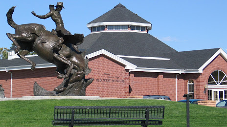
Bend — Corvallis
Bend — Nipomo
Bend — Carlin
Bend — White Post
Bend — Belen
Bend — Harvey
Bend — Okahumpka
Bend — Radcliff
Bend — Farmington
Bend — Aptos
Bend — Knierim
Bend — Lance Creek
Bend — Pittsburg
Bend — Montauk
Bend — Robstown
Bend — Renwick
Bend — Brookston
Bend — Jasper County
Bend — Earleton
Burns
Drewsey
Juntura
Vale
Ontario
Fruitland
New Plymouth
Canyon County
Caldwell
Nampa
Meridian
Boise
Boise
Mountain Home
Hammett
Glenns Ferry
Bliss
Hagerman
Kimberly
Hazelton
Burley
Travers
Snowville
Tremonton
Tremonton Municipal Airport
Honeyville
Corinne
Brigham City
Ogden
Washington Terrace
Riverdale
Morgan County
Henefer
Coalville
Fort Bridger
Lyman
Rock Springs
Rawlins
Sinclair
Elk Mountain
Laramie
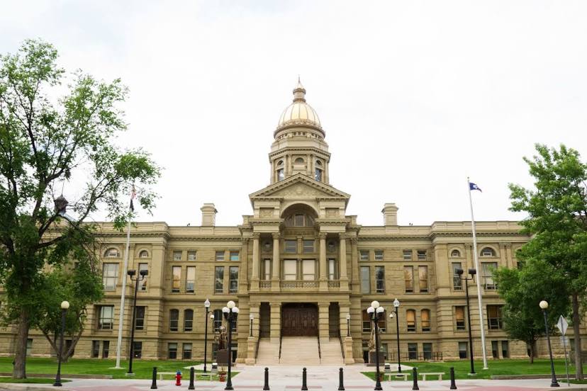
Bend — Cheyenne distance, route on the map
Distance by car
Distance between Bend, Oregon, United States and Cheyenne, Wyoming, United States by car is — km, or miles. To travel this distance by car, you need minute, or h.
Route on the map, driving directions
Car route Bend — Cheyenne was created automatically. The road on the map is shown as a blue line. By moving the markers, you can create a new route through the points you need.
Passing cities through which the car route passes: Oregon, Burns, Drewsey, Juntura, Vale, Ontario, Fruitland, New Plymouth, Canyon County, Caldwell, Nampa, Meridian, Boise, Boise, Mountain Home, Hammett, Glenns Ferry, Bliss, Hagerman, Kimberly, Hazelton, Burley, Travers, Snowville, Tremonton, Tremonton Municipal Airport, Honeyville, Corinne, Brigham City, Ogden, Washington Terrace, Riverdale, Morgan County, Henefer, Coalville, Fort Bridger, Lyman, Rock Springs, Rawlins, Sinclair, Elk Mountain, Laramie.
Distance by plane
If you decide to take a trip Bend Cheyenne by plane, then you have to fly the distance — 1386 km or 859 miles. It is marked on the map with a gray line (between two points in a straight line).
Flight time
Estimated flight time Bend Cheyenne by plane at cruising speed 750 km / h will be — 1 h. and 50 min.
Direction of movement
United States, Bend — right-hand traffic. United States, Cheyenne — right-hand traffic.
Difference in time
Bend and Cheyenne are in different time zones. The time difference is 1 hour (UTC -7 America/Los_Angeles, UTC -6 America/Denver).
Interesting Facts
Information on alternative ways to get to your destination.
The length of this distance is about 3.5% of the total length of the equator.
The percentage of the population is clearly shown in the graph:
Bend — 65,756, Cheyenne — 55,443 residents (less by 10,313).
The cost of travel
Calculate the cost of the trip yourself using the fuel consumption calculator, changing the data in the table.