Myrtle Beach — Pittsboro
Myrtle Beach — Derry
Myrtle Beach — Gladewater
Myrtle Beach — Gorham
Myrtle Beach — Candelaria
Myrtle Beach — Horntown
Myrtle Beach — Essex County
Myrtle Beach — Baraga
Myrtle Beach — Pembina
Myrtle Beach — North Haven
Myrtle Beach — Ambar
Myrtle Beach — Thorne Bay
Myrtle Beach — Goodland
Myrtle Beach — Margarettsville
Myrtle Beach — Mount Bethel
Myrtle Beach — Ragland
Myrtle Beach — Sallisaw
Myrtle Beach — Laingsburg
Myrtle Beach — Clarkston
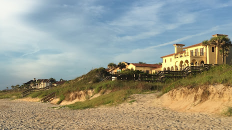
Myrtle Beach — Ponte Vedra Beach distance, route on the map
Distance by car
Distance between Myrtle Beach, South Carolina, United States and Ponte Vedra Beach, Florida, United States by car is — km, or miles. To travel this distance by car, you need minute, or h.
Route on the map, driving directions
Car route Myrtle Beach — Ponte Vedra Beach was created automatically. The road on the map is shown as a blue line. By moving the markers, you can create a new route through the points you need.
Distance by plane
If you decide to take a trip Myrtle Beach Ponte Vedra Beach by plane, then you have to fly the distance — 450 km or 279 miles. It is marked on the map with a gray line (between two points in a straight line).
Flight time
Estimated flight time Myrtle Beach Ponte Vedra Beach by plane at cruising speed 750 km / h will be — 36 min.
Direction of movement
United States, Myrtle Beach — right-hand traffic. United States, Ponte Vedra Beach — right-hand traffic.
Difference in time
Myrtle Beach and Ponte Vedra Beach are in the same time zone. Between them there is no time difference (UTC -4 America/New_York).
Interesting Facts
Information on alternative ways to get to your destination.
The length of this distance is about 1.1% of the total length of the equator.
The percentage of the population is clearly shown in the graph:
Myrtle Beach — 25,310 (less by 10,090), Ponte Vedra Beach — 35,400 residents.
The cost of travel
Calculate the cost of the trip yourself using the fuel consumption calculator, changing the data in the table.