West Salem — Hendersonville
West Salem — Shedd
West Salem — Errol Airport
West Salem — Gilcrest
West Salem — Atlantic County
West Salem — Roswell
West Salem — Henry County
West Salem — Gobler
West Salem — Skaneateles Falls
West Salem — Rio Rancho
West Salem — Hookstown
West Salem — Hughesville
West Salem — Altavista
West Salem — Tylertown
West Salem — Costa Mesa
West Salem — New Berlinville
West Salem — Summerville
West Salem — Fishkill
West Salem — Walker
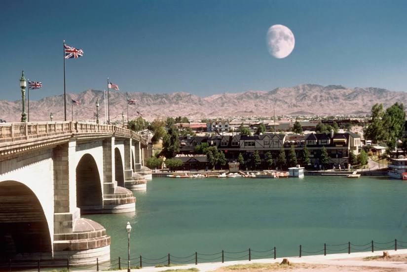
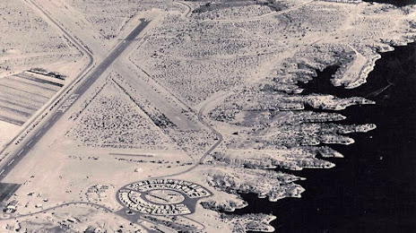
West Salem — Lake Havasu City distance, route on the map
Distance by car
Distance between West Salem, Wisconsin, United States and Lake Havasu City, Arizona, United States by car is — km, or miles. To travel this distance by car, you need minute, or h.
Route on the map, driving directions
Car route West Salem — Lake Havasu City was created automatically. The road on the map is shown as a blue line. By moving the markers, you can create a new route through the points you need.
Distance by plane
If you decide to take a trip West Salem Lake Havasu City by plane, then you have to fly the distance — 2250 km or 1395 miles. It is marked on the map with a gray line (between two points in a straight line).
Flight time
Estimated flight time West Salem Lake Havasu City by plane at cruising speed 750 km / h will be — 3 h.
Direction of movement
United States, West Salem — right-hand traffic. United States, Lake Havasu City — right-hand traffic.
Difference in time
West Salem and Lake Havasu City are in different time zones. The time difference is 2 hours (UTC -5 America/Chicago, UTC -7 America/Phoenix).
Interesting Facts
Information on alternative ways to get to your destination.
The length of this distance is about 5.6% of the total length of the equator.
The percentage of the population is clearly shown in the graph:
West Salem — 4,866 (less by 49,886), Lake Havasu City — 54,752 residents.
The cost of travel
Calculate the cost of the trip yourself using the fuel consumption calculator, changing the data in the table.