Wilkes-Barre — Tahlequah
Wilkes-Barre — Lunda
Wilkes-Barre — Greenbush
Wilkes-Barre — Port Huron
Wilkes-Barre — Akutan
Wilkes-Barre — Footville
Wilkes-Barre — Nashville
Wilkes-Barre — Van Vleet
Wilkes-Barre — Great Falls
Wilkes-Barre — Ute
Wilkes-Barre — Hall County
Wilkes-Barre — West Columbia
Wilkes-Barre — Salt Lake City
Wilkes-Barre — South Amana
Wilkes-Barre — Clarence
Wilkes-Barre — Pope County
Wilkes-Barre — Watkins
Wilkes-Barre — Reva
Wilkes-Barre — Giles County
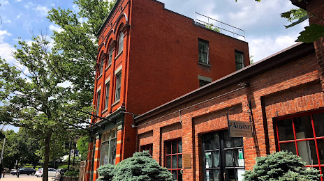
Wilkes-Barre — Albany distance, route on the map
Distance by car
Distance between Wilkes-Barre, Pennsylvania, United States and Albany, New York, United States by car is — km, or miles. To travel this distance by car, you need minute, or h.
Route on the map, driving directions
Car route Wilkes-Barre — Albany was created automatically. The road on the map is shown as a blue line. By moving the markers, you can create a new route through the points you need.
Distance by plane
If you decide to take a trip Wilkes-Barre Albany by plane, then you have to fly the distance — 235 km or 146 miles. It is marked on the map with a gray line (between two points in a straight line).
Flight time
Estimated flight time Wilkes-Barre Albany by plane at cruising speed 750 km / h will be — 18 min.
Direction of movement
United States, Wilkes-Barre — right-hand traffic. United States, Albany — right-hand traffic.
Difference in time
Wilkes-Barre and Albany are in the same time zone. Between them there is no time difference (UTC -4 America/New_York).
Interesting Facts
Information on alternative ways to get to your destination.
The length of this distance is about 0.6% of the total length of the equator.
The percentage of the population is clearly shown in the graph:
Wilkes-Barre — 40,736 (less by 53,058), Albany — 93,794 residents.
The cost of travel
Calculate the cost of the trip yourself using the fuel consumption calculator, changing the data in the table.