Eastpoint — Lavinia
Eastpoint — Seekonk
Eastpoint — Hinton
Eastpoint — Hammond
Eastpoint — Ludlow
Eastpoint — Titus
Eastpoint — Rick Husband Amarillo International Airport
Eastpoint — Ranger
Eastpoint — Penland
Eastpoint — Shelburne Airport
Eastpoint — Shoreham
Eastpoint — Plymouth
Eastpoint — Richardsville
Eastpoint — Likely
Eastpoint — Maytown
Eastpoint — Hecker
Eastpoint — Escatawpa
Eastpoint — Clearmont
Eastpoint — Destin
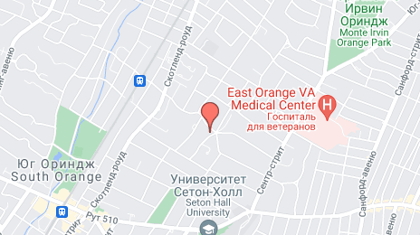
Eastpoint — East Orange distance, route on the map
Distance by car
Distance between Eastpoint, Florida, United States and East Orange, New Jersey, United States by car is — km, or miles. To travel this distance by car, you need minute, or h.
Route on the map, driving directions
Car route Eastpoint — East Orange was created automatically. The road on the map is shown as a blue line. By moving the markers, you can create a new route through the points you need.
Distance by plane
If you decide to take a trip Eastpoint East Orange by plane, then you have to fly the distance — 1562 km or 968 miles. It is marked on the map with a gray line (between two points in a straight line).
Flight time
Estimated flight time Eastpoint East Orange by plane at cruising speed 750 km / h will be — 2 h. and 4 min.
Direction of movement
United States, Eastpoint — right-hand traffic. United States, East Orange — right-hand traffic.
Difference in time
Eastpoint and East Orange are in the same time zone. Between them there is no time difference (UTC -4 America/New_York).
Interesting Facts
Information on alternative ways to get to your destination.
The length of this distance is about 3.9% of the total length of the equator.
The percentage of the population is clearly shown in the graph:
Eastpoint — 2,520 (less by 65,870), East Orange — 68,390 residents.
The cost of travel
Calculate the cost of the trip yourself using the fuel consumption calculator, changing the data in the table.