Oswego — Idleyld Park
Oswego — Kinston
Oswego — Modoc
Oswego — Cranston
Oswego — Ormond Beach
Oswego — Skanee
Oswego — Decoy
Oswego — Newfoundland
Oswego — Delano
Oswego — Elkland
Oswego — Underhill
Oswego — Kantner
Oswego — Brussels
Oswego — Ikes Fork
Oswego — North Buena Vista
Oswego — Powderly
Oswego — Chapin
Oswego — Centerville
Oswego — Gabriels
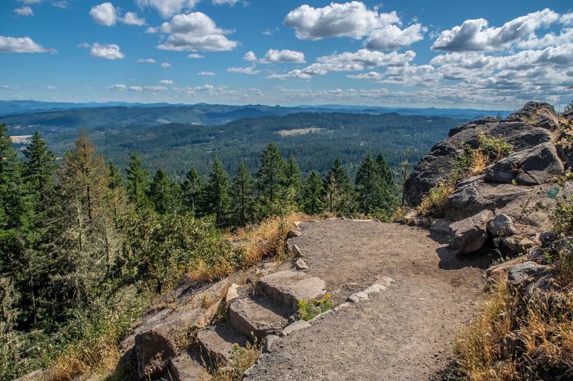
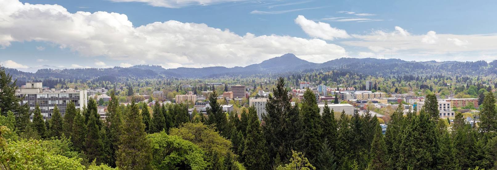
Oswego — Eugene distance, route on the map
Distance by car
Distance between Oswego, New York, United States and Eugene, Oregon, United States by car is — km, or miles. To travel this distance by car, you need minute, or h.
Route on the map, driving directions
Car route Oswego — Eugene was created automatically. The road on the map is shown as a blue line. By moving the markers, you can create a new route through the points you need.
Distance by plane
If you decide to take a trip Oswego Eugene by plane, then you have to fly the distance — 3692 km or 2289 miles. It is marked on the map with a gray line (between two points in a straight line).
Flight time
Estimated flight time Oswego Eugene by plane at cruising speed 750 km / h will be — 4 h. and 55 min.
Direction of movement
United States, Oswego — right-hand traffic. United States, Eugene — right-hand traffic.
Difference in time
Oswego and Eugene are in different time zones. The time difference is 3 hours (UTC -4 America/New_York, UTC -7 America/Los_Angeles).
Interesting Facts
Information on alternative ways to get to your destination.
The length of this distance is about 9.2% of the total length of the equator.
The percentage of the population is clearly shown in the graph:
Oswego — 18,142 (less by 127,066), Eugene — 145,208 residents.
The cost of travel
Calculate the cost of the trip yourself using the fuel consumption calculator, changing the data in the table.