Arroyo Grande — Rapid City
Arroyo Grande — Rodeo Airport
Arroyo Grande — Laughlintown
Arroyo Grande — Florence
Arroyo Grande — Whites City
Arroyo Grande — Placedo
Arroyo Grande — La Grange
Arroyo Grande — Schertz
Arroyo Grande — Beallsville
Arroyo Grande — Seagrove Beach
Arroyo Grande — Eglin Air Force Base
Arroyo Grande — Newry
Arroyo Grande — Timbo
Arroyo Grande — Lakehead
Arroyo Grande — Red Lion
Arroyo Grande — Doddridge County
Arroyo Grande — Coopersville
Arroyo Grande — Mount Pleasant
Arroyo Grande — Hima
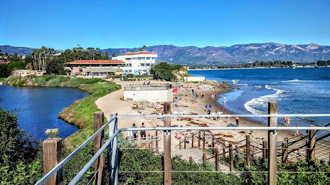
Arroyo Grande — Isla Vista distance, route on the map
Distance by car
Distance between Arroyo Grande, California, United States and Isla Vista, California, United States by car is — km, or miles. To travel this distance by car, you need minute, or h.
Route on the map, driving directions
Car route Arroyo Grande — Isla Vista was created automatically. The road on the map is shown as a blue line. By moving the markers, you can create a new route through the points you need.
Distance by plane
If you decide to take a trip Arroyo Grande Isla Vista by plane, then you have to fly the distance — 104 km or 64 miles. It is marked on the map with a gray line (between two points in a straight line).
Flight time
Estimated flight time Arroyo Grande Isla Vista by plane at cruising speed 750 km / h will be — 8 min.
Direction of movement
United States, Arroyo Grande — right-hand traffic. United States, Isla Vista — right-hand traffic.
Difference in time
Arroyo Grande and Isla Vista are in the same time zone. Between them there is no time difference (UTC -7 America/Los_Angeles).
Interesting Facts
Information on alternative ways to get to your destination.
The length of this distance is about 0.3% of the total length of the equator.
The percentage of the population is clearly shown in the graph:
Arroyo Grande — 16,613 (less by 6,483), Isla Vista — 23,096 residents.
The cost of travel
Calculate the cost of the trip yourself using the fuel consumption calculator, changing the data in the table.