
 Durant
Hayden
Pierceton
San Jacinto
Tuscumbia
Homer
Glenpool
Yulee
Suncook
Waupaca
Mescalero
Jemez Pueblo
Casa Blanca
Rio Rancho
Las Vegas
Sayre
Martville
Hampshire
El Campo
Durant
Hayden
Pierceton
San Jacinto
Tuscumbia
Homer
Glenpool
Yulee
Suncook
Waupaca
Mescalero
Jemez Pueblo
Casa Blanca
Rio Rancho
Las Vegas
Sayre
Martville
Hampshire
El Campo
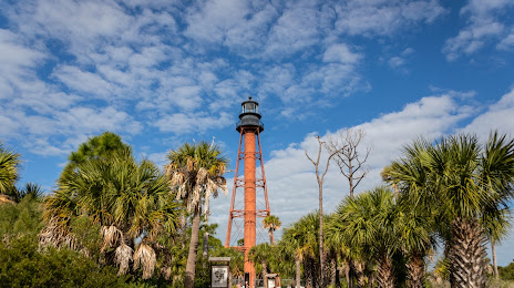
Tarpon Springs on the map, United States
Where is located Tarpon Springs
Exact location — Tarpon Springs, Pinellas County, Florida, United States, marked on the map with a red marker.
Coordinates
Tarpon Springs, United States coordinates in decimal format: latitude — 28.1461248, longitude — -82.7567679. When converted to degrees, minutes, seconds Tarpon Springs has the following coordinates: 28°8′46.05 north latitude and -82°45′24.36 east longitude.
Population
Tarpon Springs, Pinellas County, Florida, United States, according to our data the population is — 22,935 residents, which is about 0% of the total population of the country (United States).
Comparison of the population on the graph:
Exact time
Time zone for this location Tarpon Springs — UTC -4 America/New_York. Exact time — friday, 6 june 2024 year, 11 h. 02 minutes.
Sunrise and sunset
Tarpon Springs, sunrise and sunset data for a date — friday 28.06.2024.
| Sunrise | Sunset | Day (duration) |
|---|---|---|
| 06:40 +1 minute | 20:28 -0 minutes | 13 h. 48 minutes. -1 minute |
You can control the scale of the map using the auxiliary tools to find out exactly where it is located Tarpon Springs. When you change the scale of the map, the width of the ruler also changes (in kilometers and miles).
Nearby cities
The largest cities that are located nearby:
- Clearwater — 20 km
- Tampa — 36 km
- Saint Petersburg — 43 km
- Brandon — 51 km
- Orlando — 141 km
- Gainesville — 172 km
- Cape Coral — 192 km
- Port Saint Lucie — 255 km
- Jacksonville — 264 km
- Tallahassee — 292 km
- Coral Springs — 322 km
- Pembroke Pines — 340 km
- Miramar — 341 km
- Fort Lauderdale — 343 km
- Hollywood — 350 km
- Hialeah — 353 km
- Miami — 367 km
- Savannah — 462 km
- Havana
 (Cuba) — 554 km
Distance to neighboring capitals:
- Belmopan
 (Belize) — 1359 km
 - Guatemala City
 (Guatemala) — 1706 km
 - Mexico City
 (Mexico) — 1925 km
 - Ottawa
 (Canada) — 2020 km
 - Nuuk
 (Greenland) — 4569 km
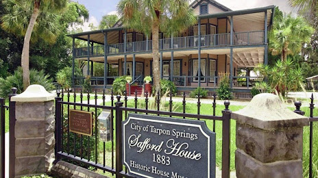
Attractions


Distance to the capital
Distance to the capital (Washington) is about — 1308 km.