Jamul — Monitor
Jamul — Elk County
Jamul — Hickory Creek
Jamul — Irwinton
Jamul — Windham
Jamul — Jericho
Jamul — Vida
Jamul — Calera
Jamul — Adel
Jamul — Chappell
Jamul — Ocoee
Jamul — King of Prussia
Jamul — Hastings
Jamul — Cubero
Jamul — Buskirk
Jamul — Little Suamico
Jamul — Stella
Jamul — Kremmling
Jamul — Hastings
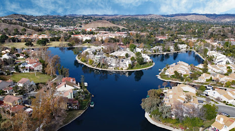
Jamul — Calabasas distance, route on the map
Distance by car
Distance between Jamul, California, United States and Calabasas, California, United States by car is — km, or miles. To travel this distance by car, you need minute, or h.
Route on the map, driving directions
Car route Jamul — Calabasas was created automatically. The road on the map is shown as a blue line. By moving the markers, you can create a new route through the points you need.
Distance by plane
If you decide to take a trip Jamul Calabasas by plane, then you have to fly the distance — 229 km or 142 miles. It is marked on the map with a gray line (between two points in a straight line).
Flight time
Estimated flight time Jamul Calabasas by plane at cruising speed 750 km / h will be — 18 min.
Direction of movement
United States, Jamul — right-hand traffic. United States, Calabasas — right-hand traffic.
Difference in time
Jamul and Calabasas are in the same time zone. Between them there is no time difference (UTC -7 America/Los_Angeles).
Interesting Facts
Information on alternative ways to get to your destination.
The length of this distance is about 0.6% of the total length of the equator.
The percentage of the population is clearly shown in the graph:
Jamul — 6,163 (less by 15,205), Calabasas — 21,368 residents.
The cost of travel
Calculate the cost of the trip yourself using the fuel consumption calculator, changing the data in the table.