Little Chute — Kwigillingok
Little Chute — Hoytville
Little Chute — Middletown
Little Chute — Webster Springs
Little Chute — Canal Point
Little Chute — Caney
Little Chute — Auburn
Little Chute — Fola
Little Chute — Selma
Little Chute — Joyce
Little Chute — Valyermo
Little Chute — Botkins
Little Chute — Willowick
Little Chute — Drayden
Little Chute — Rust Township
Little Chute — Boston
Little Chute — Washington, DC
Little Chute — Silver Spring
Little Chute — Rogersville
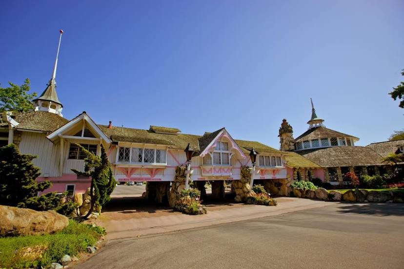
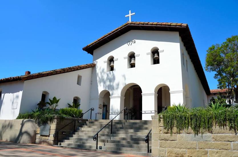
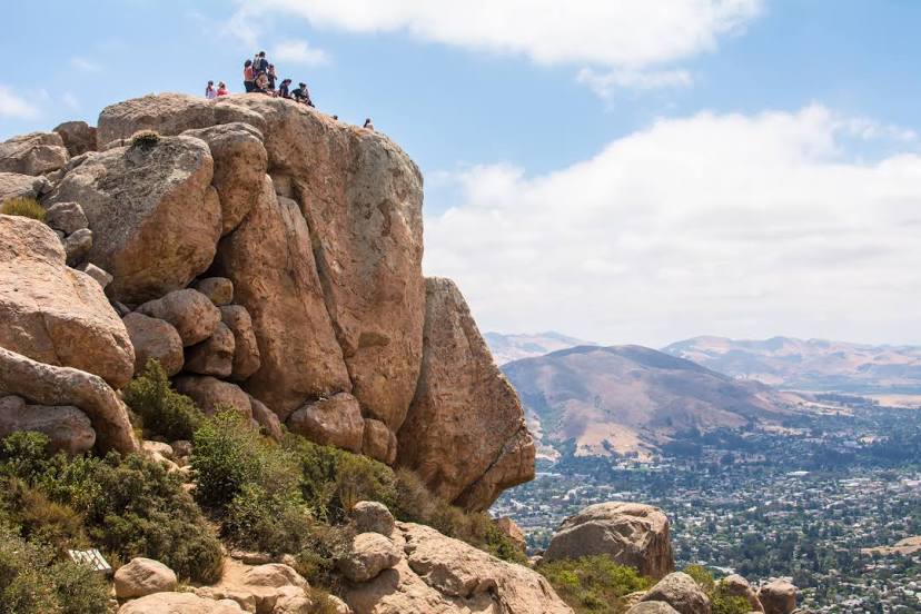
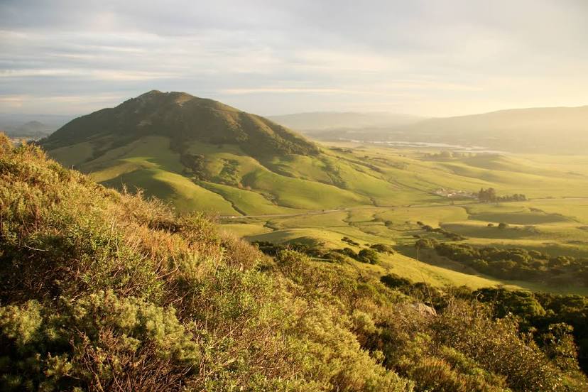
Little Chute — San Luis Obispo distance, route on the map
Distance by car
Distance between Little Chute, Wisconsin, United States and San Luis Obispo, California, United States by car is — km, or miles. To travel this distance by car, you need minute, or h.
Route on the map, driving directions
Car route Little Chute — San Luis Obispo was created automatically. The road on the map is shown as a blue line. By moving the markers, you can create a new route through the points you need.
Distance by plane
If you decide to take a trip Little Chute San Luis Obispo by plane, then you have to fly the distance — 2917 km or 1809 miles. It is marked on the map with a gray line (between two points in a straight line).
Flight time
Estimated flight time Little Chute San Luis Obispo by plane at cruising speed 750 km / h will be — 3 h. and 53 min.
Direction of movement
United States, Little Chute — right-hand traffic. United States, San Luis Obispo — right-hand traffic.
Difference in time
Little Chute and San Luis Obispo are in different time zones. The time difference is 2 hours (UTC -5 America/Chicago, UTC -7 America/Los_Angeles).
Interesting Facts
Information on alternative ways to get to your destination.
The length of this distance is about 7.3% of the total length of the equator.
The percentage of the population is clearly shown in the graph:
Little Chute — 10,698 (less by 33,434), San Luis Obispo — 44,132 residents.
The cost of travel
Calculate the cost of the trip yourself using the fuel consumption calculator, changing the data in the table.