De Queen — Matheny
De Queen — Claflin
De Queen — Muldoon
De Queen — Andes
De Queen — Dover
De Queen — Deville
De Queen — Brussels
De Queen — Spring Park
De Queen — Norvell
De Queen — Heathsville
De Queen — Roland
De Queen — Wilmont
De Queen — Platte City
De Queen — Coles Point
De Queen — Cranston
De Queen — Esbon
De Queen — Foxburg
De Queen — Toppenish
De Queen — Coleville
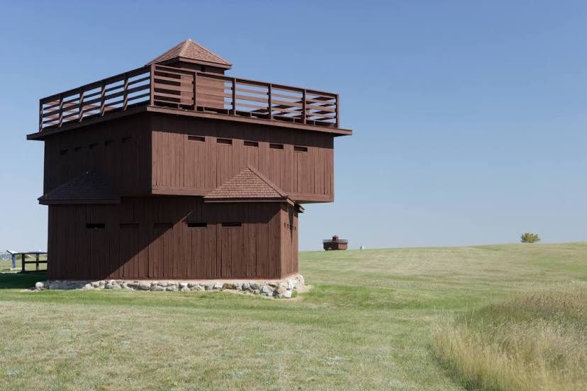
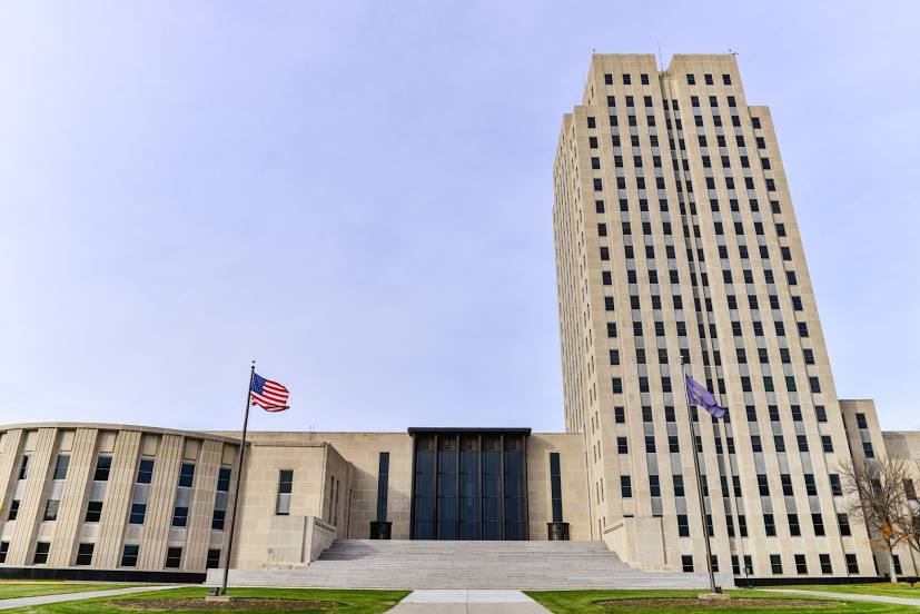
De Queen — Bismarck distance, route on the map
Distance by car
Distance between De Queen, Arkansas, United States and Bismarck, North Dakota, United States by car is — km, or miles. To travel this distance by car, you need minute, or h.
Route on the map, driving directions
Car route De Queen — Bismarck was created automatically. The road on the map is shown as a blue line. By moving the markers, you can create a new route through the points you need.
Distance by plane
If you decide to take a trip De Queen Bismarck by plane, then you have to fly the distance — 1520 km or 942 miles. It is marked on the map with a gray line (between two points in a straight line).
Flight time
Estimated flight time De Queen Bismarck by plane at cruising speed 750 km / h will be — 2 h. and 1 min.
Direction of movement
United States, De Queen — right-hand traffic. United States, Bismarck — right-hand traffic.
Difference in time
De Queen and Bismarck are in the same time zone. Between them there is no time difference (UTC -5 America/Chicago).
Interesting Facts
Information on alternative ways to get to your destination.
The length of this distance is about 3.8% of the total length of the equator.
The percentage of the population is clearly shown in the graph:
De Queen — 5,750 (less by 50,956), Bismarck — 56,706 residents.
The cost of travel
Calculate the cost of the trip yourself using the fuel consumption calculator, changing the data in the table.