Apache Junction — Sebring
Apache Junction — Ewing Township
Apache Junction — Mount Pleasant
Apache Junction — Cynthiana
Apache Junction — Akron
Apache Junction — Baileyville
Apache Junction — Soda Bay
Apache Junction — Gowrie
Apache Junction — Hamel
Apache Junction — Brazos County
Apache Junction — New York
Apache Junction — Dorset
Apache Junction — Lilesville
Apache Junction — Shelburne Airport
Apache Junction — Pelham
Apache Junction — Piketon
Apache Junction — Dixie
Apache Junction — Cassadaga
Apache Junction — Shoals
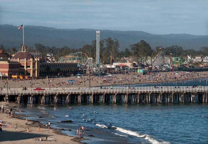
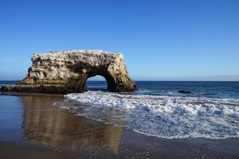
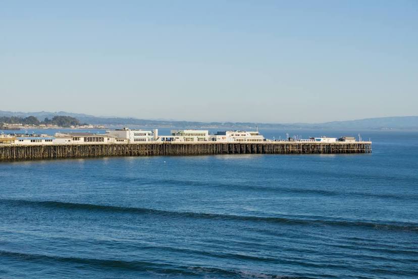
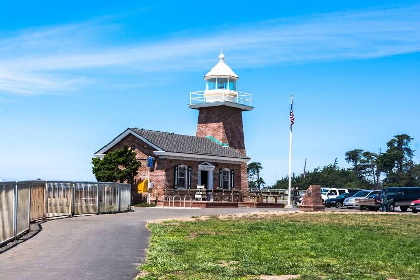
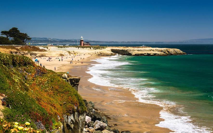
Apache Junction — Santa Cruz distance, route on the map
Distance by car
Distance between Apache Junction, Arizona, United States and Santa Cruz, California, United States by car is — km, or miles. To travel this distance by car, you need minute, or h.
Route on the map, driving directions
Car route Apache Junction — Santa Cruz was created automatically. The road on the map is shown as a blue line. By moving the markers, you can create a new route through the points you need.
Distance by plane
If you decide to take a trip Apache Junction Santa Cruz by plane, then you have to fly the distance — 1031 km or 639 miles. It is marked on the map with a gray line (between two points in a straight line).
Flight time
Estimated flight time Apache Junction Santa Cruz by plane at cruising speed 750 km / h will be — 1 h. and 22 min.
Direction of movement
United States, Apache Junction — right-hand traffic. United States, Santa Cruz — right-hand traffic.
Difference in time
Apache Junction and Santa Cruz are in the same time zone. Between them there is no time difference (UTC -7 America/Phoenix).
Interesting Facts
Information on alternative ways to get to your destination.
The length of this distance is about 2.6% of the total length of the equator.
The percentage of the population is clearly shown in the graph:
Apache Junction — 34,904 (less by 19,713), Santa Cruz — 54,617 residents.
The cost of travel
Calculate the cost of the trip yourself using the fuel consumption calculator, changing the data in the table.