Mendon — North Bangor
Mendon — Cannon Beach
Mendon — Orrick
Mendon — Bonita
Mendon — Nuevo
Mendon — Shelby County
Mendon — Aurora
Mendon — Fannin
Mendon — Kent
Mendon — Bovina
Mendon — Frenchville
Mendon — Wilbraham
Mendon — Summersville
Mendon — Hawaii
Mendon — Winter Park
Mendon — Belvue
Mendon — Wilbur Airport
Mendon — Dansville
Mendon — Downsville
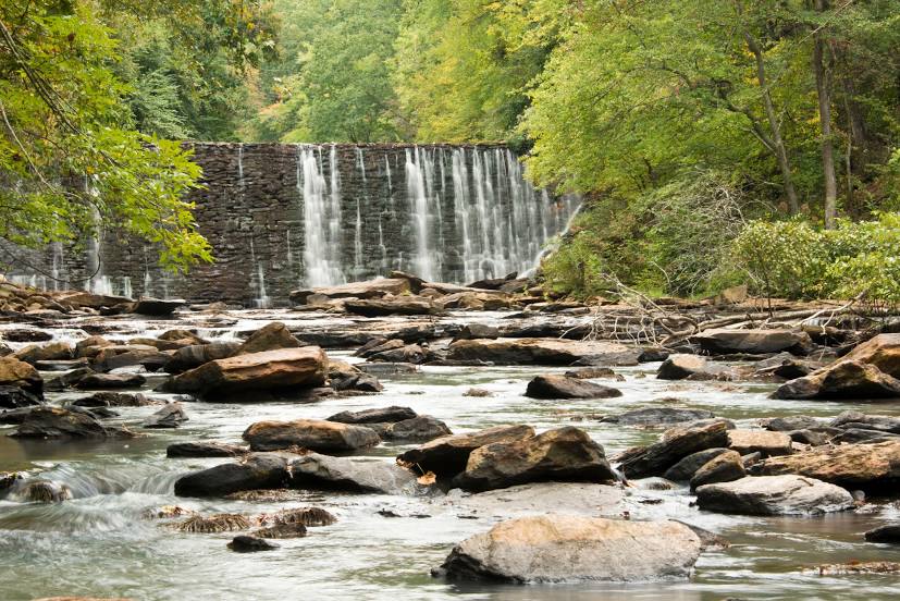
Mendon — Alpharetta distance, route on the map
Distance by car
Distance between Mendon, Massachusetts, United States and Alpharetta, Georgia, United States by car is — km, or miles. To travel this distance by car, you need minute, or h.
Route on the map, driving directions
Car route Mendon — Alpharetta was created automatically. The road on the map is shown as a blue line. By moving the markers, you can create a new route through the points you need.
Distance by plane
If you decide to take a trip Mendon Alpharetta by plane, then you have to fly the distance — 1426 km or 884 miles. It is marked on the map with a gray line (between two points in a straight line).
Flight time
Estimated flight time Mendon Alpharetta by plane at cruising speed 750 km / h will be — 1 h. and 54 min.
Direction of movement
United States, Mendon — right-hand traffic. United States, Alpharetta — right-hand traffic.
Difference in time
Mendon and Alpharetta are in the same time zone. Between them there is no time difference (UTC -4 America/New_York).
Interesting Facts
Information on alternative ways to get to your destination.
The length of this distance is about 3.6% of the total length of the equator.
The percentage of the population is clearly shown in the graph:
Mendon — 5,378 (less by 29,491), Alpharetta — 34,869 residents.
The cost of travel
Calculate the cost of the trip yourself using the fuel consumption calculator, changing the data in the table.