Kamas — Lanham
Kamas — Vermontville
Kamas — Hamptonville
Kamas — Elmore
Kamas — Long Beach
Kamas — Riverdale
Kamas — Corry
Kamas — Poteet
Kamas — Knoxville
Kamas — Otley
Kamas — Tama
Kamas — Purves
Kamas — Jackson
Kamas — Brodnax
Kamas — Borger
Kamas — Tramway
Kamas — Windham
Kamas — Providence
Kamas — Hartland
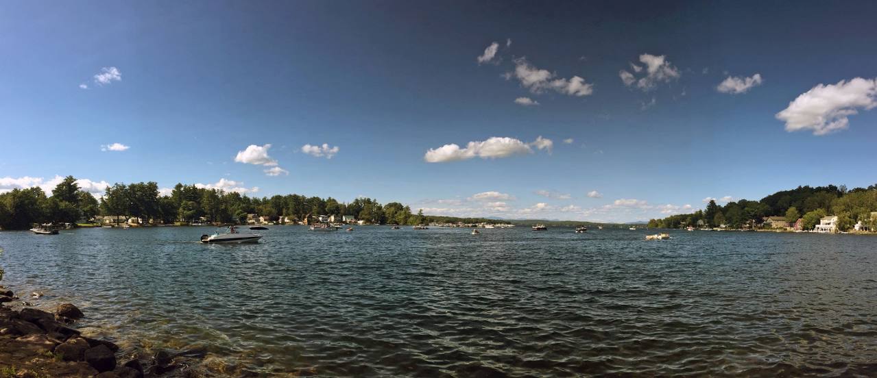
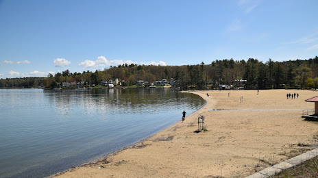
Kamas — Laconia distance, route on the map
Distance by car
Distance between Kamas, Utah, United States and Laconia, New Hampshire, United States by car is — km, or miles. To travel this distance by car, you need minute, or h.
Route on the map, driving directions
Car route Kamas — Laconia was created automatically. The road on the map is shown as a blue line. By moving the markers, you can create a new route through the points you need.
Distance by plane
If you decide to take a trip Kamas Laconia by plane, then you have to fly the distance — 3270 km or 2027 miles. It is marked on the map with a gray line (between two points in a straight line).
Flight time
Estimated flight time Kamas Laconia by plane at cruising speed 750 km / h will be — 4 h. and 21 min.
Direction of movement
United States, Kamas — right-hand traffic. United States, Laconia — right-hand traffic.
Difference in time
Kamas and Laconia are in different time zones. The time difference is 2 hours (UTC -6 America/Denver, UTC -4 America/New_York).
Interesting Facts
Information on alternative ways to get to your destination.
The length of this distance is about 8.2% of the total length of the equator.
The percentage of the population is clearly shown in the graph:
Kamas — 1,530 (less by 16,003), Laconia — 17,533 residents.
The cost of travel
Calculate the cost of the trip yourself using the fuel consumption calculator, changing the data in the table.