Sweet Springs — Steuben
Sweet Springs — Rockbridge County
Sweet Springs — Mount Vernon
Sweet Springs — Athena
Sweet Springs — Richlands
Sweet Springs — Morrow
Sweet Springs — Avon
Sweet Springs — Albany
Sweet Springs — Granger
Sweet Springs — Bertrand
Sweet Springs — Ocotillo
Sweet Springs — Bolivar
Sweet Springs — Saranac
Sweet Springs — Dayton
Sweet Springs — Andreas
Sweet Springs — Maple City
Sweet Springs — Leverett
Sweet Springs — Loranger
Sweet Springs — Kenvir
Lamine Township
Rocheport
Columbia
Kingdom City
New Florence
Jonesburg
Warrenton
Truesdale
Wright City
Foristell
Wentzville
Lake Saint Louis
O'Fallon
Saint Peters
Saint Charles
Earth City
Maryland Heights
Bridgeton
St. Louis Lambert International Airport
St. Louis
Granite City
St. Louis
East Saint Louis
Caseyville
Fairview Heights
Shiloh
Mascoutah
New Baden
Okawville
Hoyleton
Richview
Bonnie
Ina
Whittington
West Frankfort
Freeman Spur
Herrin
Marion
Metropolis
Brookport
McCracken County
Paducah
Calvert City
Grand Rivers
Kuttawa
Eddyville
Cadiz
Gracey
Fort Campbell
Clarksville
Nashville
Nashville International Airport
La Vergne
Smyrna/Rutherford County Airport Authority
Murfreesboro
Noah
Monteagle
South Pittsburg
Whiteside
Chattanooga
Rossville
Fort Oglethorpe
Ringgold
Varnell
Resaca
Adairsville
Cartersville
Acworth
Kennesaw
Marietta
Dobbins Air Reserve Base
Atlanta
Fulton County
Atlanta
Atlanta
Atlanta
East Point
Hartsfield-Jackson Atlanta International Airport
Forest Park
Riverdale
Morrow
Stockbridge
McDonough
Henry County
Locust Grove
Forsyth
Smarr
Bolingbroke
Macon
Bibb County
Peach County
Unadilla
Vienna
Cordele
Arabi
Chula
Tifton
Tift County
Adel
Hahira
Valdosta
White Springs
Wellborn
Lake City
High Springs
Alachua
Arredondo
Micanopy
Ocala
Wildwood
Okahumpka
Lake County
Minneola
Montverde
Winter Garden
Ocoee
Windermere
Orlando
Belle Isle
Kissimmee
Port Saint Lucie
Stuart
Port Salerno
Jupiter
Palm Beach Gardens
Palm Beach International Airport
Royal Palm Beach
Golf
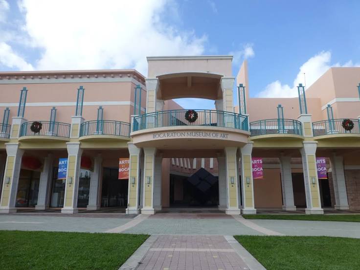
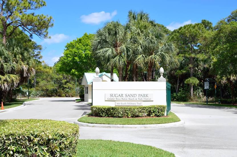
Boca Raton
Sweet Springs — Steuben
Sweet Springs — Rockbridge County
Sweet Springs — Mount Vernon
Sweet Springs — Athena
Sweet Springs — Richlands
Sweet Springs — Morrow
Sweet Springs — Avon
Sweet Springs — Albany
Sweet Springs — Granger
Sweet Springs — Bertrand
Sweet Springs — Ocotillo
Sweet Springs — Bolivar
Sweet Springs — Saranac
Sweet Springs — Dayton
Sweet Springs — Andreas
Sweet Springs — Maple City
Sweet Springs — Leverett
Sweet Springs — Loranger
Sweet Springs — Kenvir
Lamine Township
Rocheport
Columbia
Kingdom City
New Florence
Jonesburg
Warrenton
Truesdale
Wright City
Foristell
Wentzville
Lake Saint Louis
O'Fallon
Saint Peters
Saint Charles
Earth City
Maryland Heights
Bridgeton
St. Louis Lambert International Airport
St. Louis
Granite City
St. Louis
East Saint Louis
Caseyville
Fairview Heights
Shiloh
Mascoutah
New Baden
Okawville
Hoyleton
Richview
Bonnie
Ina
Whittington
West Frankfort
Freeman Spur
Herrin
Marion
Metropolis
Brookport
McCracken County
Paducah
Calvert City
Grand Rivers
Kuttawa
Eddyville
Cadiz
Gracey
Fort Campbell
Clarksville
Nashville
Nashville International Airport
La Vergne
Smyrna/Rutherford County Airport Authority
Murfreesboro
Noah
Monteagle
South Pittsburg
Whiteside
Chattanooga
Rossville
Fort Oglethorpe
Ringgold
Varnell
Resaca
Adairsville
Cartersville
Acworth
Kennesaw
Marietta
Dobbins Air Reserve Base
Atlanta
Fulton County
Atlanta
Atlanta
Atlanta
East Point
Hartsfield-Jackson Atlanta International Airport
Forest Park
Riverdale
Morrow
Stockbridge
McDonough
Henry County
Locust Grove
Forsyth
Smarr
Bolingbroke
Macon
Bibb County
Peach County
Unadilla
Vienna
Cordele
Arabi
Chula
Tifton
Tift County
Adel
Hahira
Valdosta
White Springs
Wellborn
Lake City
High Springs
Alachua
Arredondo
Micanopy
Ocala
Wildwood
Okahumpka
Lake County
Minneola
Montverde
Winter Garden
Ocoee
Windermere
Orlando
Belle Isle
Kissimmee
Port Saint Lucie
Stuart
Port Salerno
Jupiter
Palm Beach Gardens
Palm Beach International Airport
Royal Palm Beach
Golf
Boca Raton
Sweet Springs — Boca Raton distance, route on the map
Distance by car
Distance between Sweet Springs, Missouri, United States and Boca Raton, Florida, United States by car is — km, or miles. To travel this distance by car, you need minute, or h.
Route on the map, driving directions
Car route Sweet Springs — Boca Raton was created automatically. The road on the map is shown as a blue line. By moving the markers, you can create a new route through the points you need.
Passing cities through which the car route passes: Blackwater, Lamine Township, Rocheport, Columbia, Kingdom City, New Florence, Jonesburg, Warrenton, Truesdale, Wright City, Foristell, Wentzville, Lake Saint Louis, O'Fallon, Saint Peters, Saint Charles, Earth City, Maryland Heights, Bridgeton, St. Louis Lambert International Airport, St. Louis, Granite City, St. Louis, East Saint Louis, Caseyville, Fairview Heights, Shiloh, Mascoutah, New Baden, Okawville, Hoyleton, Richview, Bonnie, Ina, Whittington, West Frankfort, Freeman Spur, Herrin, Marion, Metropolis, Brookport, McCracken County, Paducah, Calvert City, Grand Rivers, Kuttawa, Eddyville, Cadiz, Gracey, Fort Campbell, Clarksville, Nashville, Nashville International Airport, La Vergne, Smyrna/Rutherford County Airport Authority, Murfreesboro, Noah, Monteagle, South Pittsburg, Whiteside, Chattanooga, Rossville, Fort Oglethorpe, Ringgold, Varnell, Resaca, Adairsville, Cartersville, Acworth, Kennesaw, Marietta, Dobbins Air Reserve Base, Atlanta, Fulton County, Atlanta, Atlanta, Atlanta, East Point, Hartsfield-Jackson Atlanta International Airport, Forest Park, Riverdale, Morrow, Stockbridge, McDonough, Henry County, Locust Grove, Forsyth, Smarr, Bolingbroke, Macon, Bibb County, Peach County, Unadilla, Vienna, Cordele, Arabi, Chula, Tifton, Tift County, Adel, Hahira, Valdosta, White Springs, Wellborn, Lake City, High Springs, Alachua, Arredondo, Micanopy, Ocala, Wildwood, Okahumpka, Lake County, Minneola, Montverde, Winter Garden, Ocoee, Windermere, Orlando, Belle Isle, Kissimmee, Port Saint Lucie, Stuart, Port Salerno, Jupiter, Palm Beach Gardens, Palm Beach International Airport, Royal Palm Beach, Golf, Boca Raton.
Distance by plane
If you decide to take a trip Sweet Springs Boca Raton by plane, then you have to fly the distance — 1869 km or 1159 miles. It is marked on the map with a gray line (between two points in a straight line).
Flight time
Estimated flight time Sweet Springs Boca Raton by plane at cruising speed 750 km / h will be — 2 h. and 29 min.
Direction of movement
United States, Sweet Springs — right-hand traffic. United States, Boca Raton — right-hand traffic.
Difference in time
Sweet Springs and Boca Raton are in different time zones. The time difference is 1 hour (UTC -5 America/Chicago, UTC -4 America/New_York).
Interesting Facts
Information on alternative ways to get to your destination.
The length of this distance is about 4.7% of the total length of the equator.
The percentage of the population is clearly shown in the graph:
Sweet Springs — 1,498 (less by 79,191), Boca Raton — 80,689 residents.
The cost of travel
Calculate the cost of the trip yourself using the fuel consumption calculator, changing the data in the table.