Hanalei — Gosport
Hanalei — Belcourt
Hanalei — Jolon
Hanalei — Alpine
Hanalei — Chapmanville
Hanalei — Hulen
Hanalei — Alaska
Hanalei — Oliver
Hanalei — Reno
Hanalei — Wellesley
Hanalei — Littlerock
Hanalei — Chevy Chase
Hanalei — Layland
Hanalei — Mount Joy
Hanalei — Lorena
Hanalei — Woodstown
Hanalei — Plymouth
Hanalei — Seminole
Hanalei — Hope
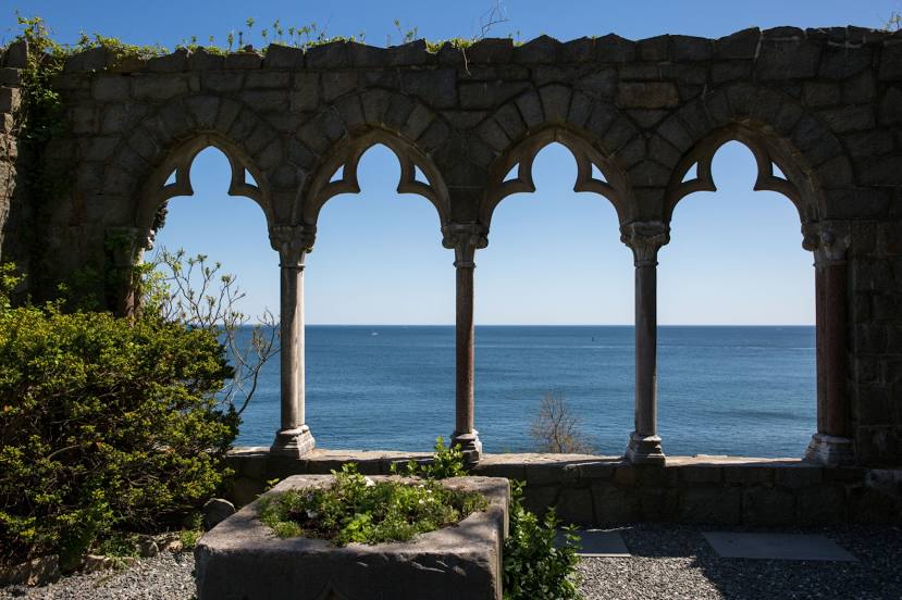
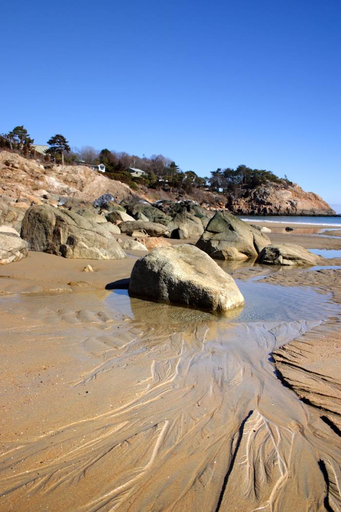
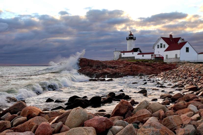
Hanalei — Gloucester distance, route on the map
Distance by car
Distance between Hanalei, Hawaii, United States and Gloucester, Massachusetts, United States by car is — km, or miles. To travel this distance by car, you need minute, or h.
Route on the map, driving directions
Car route Hanalei — Gloucester was created automatically. The road on the map is shown as a blue line. By moving the markers, you can create a new route through the points you need.
Distance by plane
If you decide to take a trip Hanalei Gloucester by plane, then you have to fly the distance — 8270 km or 5127 miles. It is marked on the map with a gray line (between two points in a straight line).
Flight time
Estimated flight time Hanalei Gloucester by plane at cruising speed 750 km / h will be — 11 h. and 1 min.
Direction of movement
United States, Hanalei — right-hand traffic. United States, Gloucester — right-hand traffic.
Difference in time
Hanalei and Gloucester are in different time zones. The time difference is 6 hours (UTC -10 Pacific/Honolulu, UTC -4 America/New_York).
Interesting Facts
Information on alternative ways to get to your destination.
The length of this distance is about 20.6% of the total length of the equator.
The percentage of the population is clearly shown in the graph:
Hanalei — 496 (less by 30,420), Gloucester — 30,916 residents.
The cost of travel
Calculate the cost of the trip yourself using the fuel consumption calculator, changing the data in the table.