Hebbronville — Stillwater
Hebbronville — Concord
Hebbronville — Nipomo
Hebbronville — Ashburn
Hebbronville — Tuscumbia
Hebbronville — Stockbridge
Hebbronville — Exeter
Hebbronville — Orange
Hebbronville — Haysville
Hebbronville — Tillman
Hebbronville — Cusick
Hebbronville — Northville
Hebbronville — Joubert
Hebbronville — Burkett
Hebbronville — Arcola
Hebbronville — Hilton
Hebbronville — Hammondsport
Hebbronville — Savannah/Hilton Head International Airport
Hebbronville — Juan
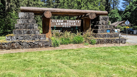
Hebbronville — Battle Ground distance, route on the map
Distance by car
Distance between Hebbronville, Texas, United States and Battle Ground, Washington, United States by car is — km, or miles. To travel this distance by car, you need minute, or h.
Route on the map, driving directions
Car route Hebbronville — Battle Ground was created automatically. The road on the map is shown as a blue line. By moving the markers, you can create a new route through the points you need.
Distance by plane
If you decide to take a trip Hebbronville Battle Ground by plane, then you have to fly the distance — 2939 km or 1822 miles. It is marked on the map with a gray line (between two points in a straight line).
Flight time
Estimated flight time Hebbronville Battle Ground by plane at cruising speed 750 km / h will be — 3 h. and 55 min.
Direction of movement
United States, Hebbronville — right-hand traffic. United States, Battle Ground — right-hand traffic.
Difference in time
Hebbronville and Battle Ground are in different time zones. The time difference is 2 hours (UTC -5 America/Chicago, UTC -7 America/Los_Angeles).
Interesting Facts
Information on alternative ways to get to your destination.
The length of this distance is about 7.3% of the total length of the equator.
The percentage of the population is clearly shown in the graph:
Hebbronville — 4,525 (less by 13,536), Battle Ground — 18,061 residents.
The cost of travel
Calculate the cost of the trip yourself using the fuel consumption calculator, changing the data in the table.