Steeles Tavern — Wicomico County
Steeles Tavern — Los Angeles
Steeles Tavern — North Blenheim
Steeles Tavern — Sahuarita
Steeles Tavern — Salem
Steeles Tavern — Montgomery
Steeles Tavern — Burnside
Steeles Tavern — Hunts Point
Steeles Tavern — Hardinsburg
Steeles Tavern — Beaverdam
Steeles Tavern — Jerico Springs
Steeles Tavern — Pomfret
Steeles Tavern — Milner
Steeles Tavern — Highgate Springs
Steeles Tavern — Mooreland
Steeles Tavern — Buckland
Steeles Tavern — Babylon
Steeles Tavern — Jenera
Steeles Tavern — Pierson
Staunton
Mount Sidney
Bridgewater
Harrisonburg
Timberville
New Market
Quicksburg
Mount Jackson
Strasburg
Marlboro
Stephens City
Winchester
Clear Brook
Bunker Hill
Gerrardstown
Martinsburg
Falling Waters
Hagerstown
Chambersburg
Scotland
Shippensburg
Carlisle
Carlisle Airport
Carlisle Barracks Army Heliport
Mechanicsburg
Enola
Progress
Grantville
Jonestown
Grimes Airport
Shartlesville
Hamburg
Kempton
Kutztown
Fogelsville
Allentown
Emmaus
Coopersburg
Fountain Hill
Bethlehem
Easton
Phillipsburg
Alpha
Glen Gardner
Lebanon
Whitehouse Station
Branchburg
Bridgewater
Warren
Plainfield
New Providence
Short Hills
Maplewood
Union Township
Newark
Newark Liberty International Airport
Kearny
Jersey City
Hudson County
Secaucus
North Bergen
Little Ferry
Palisades Park
Ridgefield Park
Fort Lee
Yonkers
Bronxville
Mount Vernon
Tuckahoe
Greenville
Rye
Rye Brook
Armonk
Greenwich
Stamford
New Canaan
Norwalk
Westport
Bridgeport
Trumbull
Milford
Orange
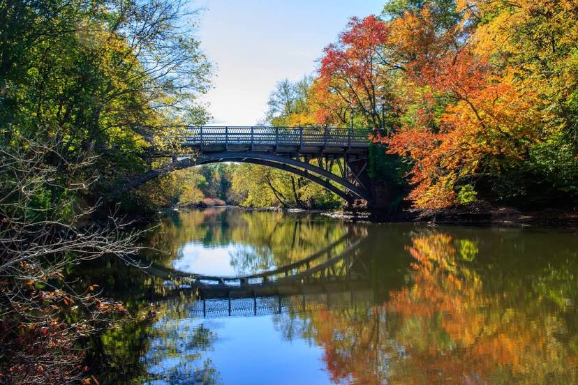
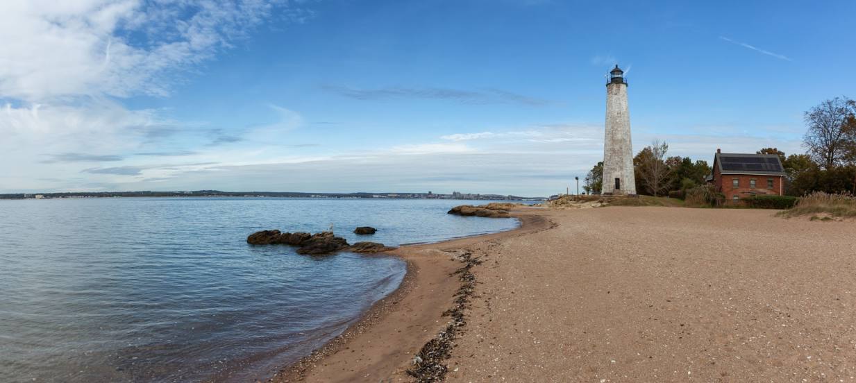
Steeles Tavern — New Haven distance, route on the map
Distance by car
Distance between Steeles Tavern, Virginia, United States and New Haven, Connecticut, United States by car is — km, or miles. To travel this distance by car, you need minute, or h.
Route on the map, driving directions
Car route Steeles Tavern — New Haven was created automatically. The road on the map is shown as a blue line. By moving the markers, you can create a new route through the points you need.
Passing cities through which the car route passes: Middlebrook, Staunton, Mount Sidney, Bridgewater, Harrisonburg, Timberville, New Market, Quicksburg, Mount Jackson, Strasburg, Marlboro, Stephens City, Winchester, Clear Brook, Bunker Hill, Gerrardstown, Martinsburg, Falling Waters, Hagerstown, Chambersburg, Scotland, Shippensburg, Carlisle, Carlisle Airport, Carlisle Barracks Army Heliport, Mechanicsburg, Enola, Progress, Grantville, Jonestown, Grimes Airport, Shartlesville, Hamburg, Kempton, Kutztown, Fogelsville, Allentown, Emmaus, Coopersburg, Fountain Hill, Bethlehem, Easton, Phillipsburg, Alpha, Glen Gardner, Lebanon, Whitehouse Station, Branchburg, Bridgewater, Warren, Plainfield, New Providence, Short Hills, Maplewood, Union Township, Newark, Newark Liberty International Airport, Kearny, Jersey City, Hudson County, Secaucus, North Bergen, Little Ferry, Palisades Park, Ridgefield Park, Fort Lee, Yonkers, Bronxville, Mount Vernon, Tuckahoe, Greenville, Rye, Rye Brook, Armonk, Greenwich, Stamford, New Canaan, Norwalk, Westport, Bridgeport, Trumbull, Milford, Orange.
Distance by plane
If you decide to take a trip Steeles Tavern New Haven by plane, then you have to fly the distance — 656 km or 407 miles. It is marked on the map with a gray line (between two points in a straight line).
Flight time
Estimated flight time Steeles Tavern New Haven by plane at cruising speed 750 km / h will be — 52 min.
Direction of movement
United States, Steeles Tavern — right-hand traffic. United States, New Haven — right-hand traffic.
Difference in time
Steeles Tavern and New Haven are in the same time zone. Between them there is no time difference (UTC -4 America/New_York).
Interesting Facts
Information on alternative ways to get to your destination.
The length of this distance is about 1.6% of the total length of the equator.
The cost of travel
Calculate the cost of the trip yourself using the fuel consumption calculator, changing the data in the table.