Chevak — Middlebury
Chevak — Westernville
Chevak — Locust Grove
Chevak — Latimer
Chevak — Walker
Chevak — Delaplaine
Chevak — Putnam
Chevak — Fenwick Island
Chevak — Maytown
Chevak — Brooksville
Chevak — Baggs
Chevak — Lodi
Chevak — Glen Burnie
Chevak — Hutton
Chevak — Strunk
Chevak — Fairport
Chevak — Plantersville
Chevak — Boise
Chevak — Clark County
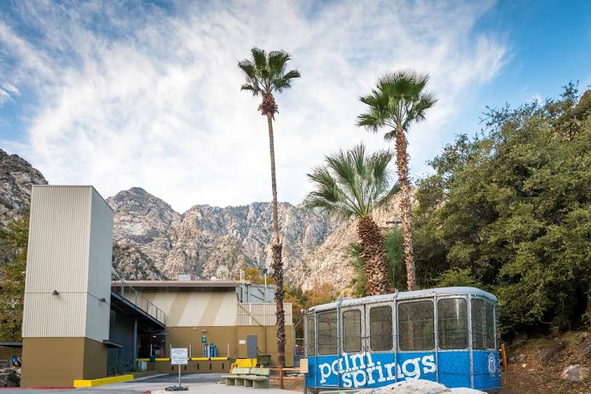
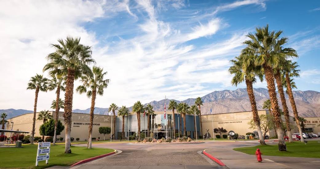
Chevak — Palm Springs distance, route on the map
Distance by car
Distance between Chevak, Alaska, United States and Palm Springs, California, United States by car is — km, or miles. To travel this distance by car, you need minute, or h.
Route on the map, driving directions
Car route Chevak — Palm Springs was created automatically. The road on the map is shown as a blue line. By moving the markers, you can create a new route through the points you need.
Distance by plane
If you decide to take a trip Chevak Palm Springs by plane, then you have to fly the distance — 4616 km or 2862 miles. It is marked on the map with a gray line (between two points in a straight line).
Flight time
Estimated flight time Chevak Palm Springs by plane at cruising speed 750 km / h will be — 6 h. and 9 min.
Direction of movement
United States, Chevak — right-hand traffic. United States, Palm Springs — right-hand traffic.
Difference in time
Chevak and Palm Springs are in different time zones. The time difference is 1 hour (UTC -8 America/Anchorage, UTC -7 America/Los_Angeles).
Interesting Facts
Information on alternative ways to get to your destination.
The length of this distance is about 11.5% of the total length of the equator.
The percentage of the population is clearly shown in the graph:
Chevak — 815 (less by 45,865), Palm Springs — 46,680 residents.
The cost of travel
Calculate the cost of the trip yourself using the fuel consumption calculator, changing the data in the table.