Bloomdale — Pikeville
Bloomdale — Menoken
Bloomdale — Portsmouth
Bloomdale — Sperryville
Bloomdale — Perrineville
Bloomdale — Hebbronville
Bloomdale — United States
Bloomdale — Pell City
Bloomdale — Camano Island
Bloomdale — Chase
Bloomdale — Sands Point
Bloomdale — Hugo
Bloomdale — Park Hills
Bloomdale — Larkspur
Bloomdale — Monroe
Bloomdale — East Aurora
Bloomdale — San Patricio County
Bloomdale — Tollhouse
Bloomdale — Champlain
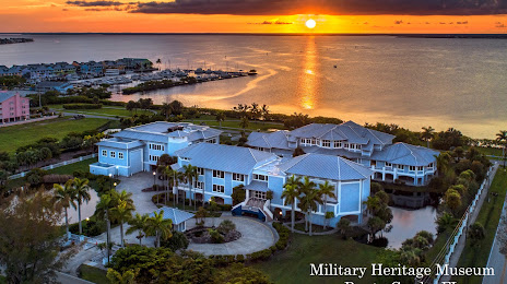
Bloomdale — Punta Gorda distance, route on the map
Distance by car
Distance between Bloomdale, Ohio, United States and Punta Gorda, Florida, United States by car is — km, or miles. To travel this distance by car, you need minute, or h.
Route on the map, driving directions
Car route Bloomdale — Punta Gorda was created automatically. The road on the map is shown as a blue line. By moving the markers, you can create a new route through the points you need.
Distance by plane
If you decide to take a trip Bloomdale Punta Gorda by plane, then you have to fly the distance — 1590 km or 986 miles. It is marked on the map with a gray line (between two points in a straight line).
Flight time
Estimated flight time Bloomdale Punta Gorda by plane at cruising speed 750 km / h will be — 2 h. and 7 min.
Direction of movement
United States, Bloomdale — right-hand traffic. United States, Punta Gorda — right-hand traffic.
Difference in time
Bloomdale and Punta Gorda are in the same time zone. Between them there is no time difference (UTC -4 America/New_York).
Interesting Facts
Information on alternative ways to get to your destination.
The length of this distance is about 4.0% of the total length of the equator.
The percentage of the population is clearly shown in the graph:
Bloomdale — 704 (less by 17,602), Punta Gorda — 18,306 residents.
The cost of travel
Calculate the cost of the trip yourself using the fuel consumption calculator, changing the data in the table.