Captain Cook — Dinwiddie
Captain Cook — Vista
Captain Cook — Sekiu
Captain Cook — La Push
Captain Cook — Austin Street
Captain Cook — San Andreas
Captain Cook — Kennard
Captain Cook — Otis
Captain Cook — San Juan
Captain Cook — Newton Grove
Captain Cook — Jemison
Captain Cook — Markham
Captain Cook — Ruthton
Captain Cook — Delia
Captain Cook — North Lewisburg
Captain Cook — United States
Captain Cook — Sauquoit
Captain Cook — Red Lion
Captain Cook — Bullville
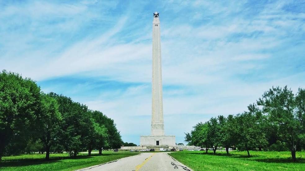
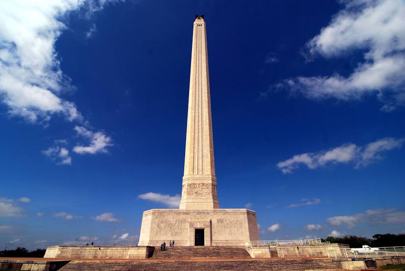
Captain Cook — Baytown distance, route on the map
Distance by car
Distance between Captain Cook, Hawaii, United States and Baytown, Texas, United States by car is — km, or miles. To travel this distance by car, you need minute, or h.
Route on the map, driving directions
Car route Captain Cook — Baytown was created automatically. The road on the map is shown as a blue line. By moving the markers, you can create a new route through the points you need.
Distance by plane
If you decide to take a trip Captain Cook Baytown by plane, then you have to fly the distance — 6199 km or 3843 miles. It is marked on the map with a gray line (between two points in a straight line).
Flight time
Estimated flight time Captain Cook Baytown by plane at cruising speed 750 km / h will be — 8 h. and 15 min.
Direction of movement
United States, Captain Cook — right-hand traffic. United States, Baytown — right-hand traffic.
Difference in time
Captain Cook and Baytown are in different time zones. The time difference is 5 hours (UTC -10 Pacific/Honolulu, UTC -5 America/Chicago).
Interesting Facts
Information on alternative ways to get to your destination.
The length of this distance is about 15.5% of the total length of the equator.
The percentage of the population is clearly shown in the graph:
Captain Cook — 3,611 (less by 63,730), Baytown — 67,341 residents.
The cost of travel
Calculate the cost of the trip yourself using the fuel consumption calculator, changing the data in the table.