Wallaceton — Cape Canaveral
Wallaceton — Southworth
Wallaceton — Perkins County
Wallaceton — Atwater
Wallaceton — Pendleton
Wallaceton — Mineral
Wallaceton — Houston
Wallaceton — Parkersburg
Wallaceton — Tapuah
Wallaceton — Fort Atkinson
Wallaceton — Ankeny
Wallaceton — Medford
Wallaceton — Stafford
Wallaceton — Oroville
Wallaceton — Redfield
Wallaceton — Bardwell
Wallaceton — Lexington
Wallaceton — Norwich
Wallaceton — Clontarf
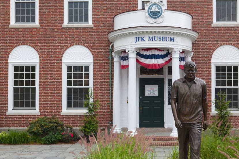
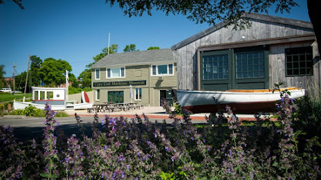
Wallaceton — Barnstable distance, route on the map
Distance by car
Distance between Wallaceton, Pennsylvania, United States and Barnstable, Massachusetts, United States by car is — km, or miles. To travel this distance by car, you need minute, or h.
Route on the map, driving directions
Car route Wallaceton — Barnstable was created automatically. The road on the map is shown as a blue line. By moving the markers, you can create a new route through the points you need.
Distance by plane
If you decide to take a trip Wallaceton Barnstable by plane, then you have to fly the distance — 672 km or 417 miles. It is marked on the map with a gray line (between two points in a straight line).
Flight time
Estimated flight time Wallaceton Barnstable by plane at cruising speed 750 km / h will be — 53 min.
Direction of movement
United States, Wallaceton — right-hand traffic. United States, Barnstable — right-hand traffic.
Difference in time
Wallaceton and Barnstable are in the same time zone. Between them there is no time difference (UTC -4 America/New_York).
Interesting Facts
Information on alternative ways to get to your destination.
The length of this distance is about 1.7% of the total length of the equator.
The percentage of the population is clearly shown in the graph:
Wallaceton — 338 (less by 47,483), Barnstable — 47,821 residents.
The cost of travel
Calculate the cost of the trip yourself using the fuel consumption calculator, changing the data in the table.