Chaseley — Boone
Chaseley — Lebanon
Chaseley — Butlerville
Chaseley — Eden Mills
Chaseley — Menlo
Chaseley — Jadwin
Chaseley — Cragsmoor
Chaseley — Kathleen
Chaseley — Morehouse
Chaseley — Globe
Chaseley — Berrien Springs
Chaseley — Pleak
Chaseley — Wilkeson
Chaseley — Great Neck
Chaseley — Williamson County
Chaseley — Norfolk
Chaseley — Sanborn
Chaseley — Oconee County
Chaseley — Ozette
Tuttle
Menoken
Bismarck
Mandan
Judson
Glen Ullin
Richardton
Dickinson
Belfield
Redig
Belle Fourche
Spearfish
Schloredt Airport
Moorcroft
Rozet
Gillette
Midwest
Casper
Rawlins
Rock Springs
Lyman
Fort Bridger
Coalville
Park City
Midway
Heber City
Wallsburg
Sundance
Orem
Provo
Springville
Spanish Fork
Payson
Santaquin
Mona
Nephi
Levan
Scipio
Meadow
Kanosh
Parowan
Enoch
Cedar City
Toquerville
Washington
Saint George
Mesquite
Jackman
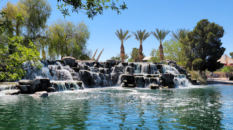
Las Vegas
Chaseley — Boone
Chaseley — Lebanon
Chaseley — Butlerville
Chaseley — Eden Mills
Chaseley — Menlo
Chaseley — Jadwin
Chaseley — Cragsmoor
Chaseley — Kathleen
Chaseley — Morehouse
Chaseley — Globe
Chaseley — Berrien Springs
Chaseley — Pleak
Chaseley — Wilkeson
Chaseley — Great Neck
Chaseley — Williamson County
Chaseley — Norfolk
Chaseley — Sanborn
Chaseley — Oconee County
Chaseley — Ozette
Tuttle
Menoken
Bismarck
Mandan
Judson
Glen Ullin
Richardton
Dickinson
Belfield
Redig
Belle Fourche
Spearfish
Schloredt Airport
Moorcroft
Rozet
Gillette
Midwest
Casper
Rawlins
Rock Springs
Lyman
Fort Bridger
Coalville
Park City
Midway
Heber City
Wallsburg
Sundance
Orem
Provo
Springville
Spanish Fork
Payson
Santaquin
Mona
Nephi
Levan
Scipio
Meadow
Kanosh
Parowan
Enoch
Cedar City
Toquerville
Washington
Saint George
Mesquite
Jackman
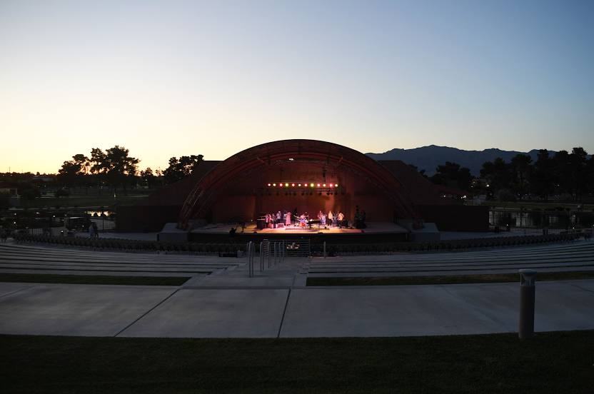
Las Vegas
Chaseley — North Las Vegas distance, route on the map
Distance by car
Distance between Chaseley, North Dakota, United States and North Las Vegas, Nevada, United States by car is — km, or miles. To travel this distance by car, you need minute, or h.
Route on the map, driving directions
Car route Chaseley — North Las Vegas was created automatically. The road on the map is shown as a blue line. By moving the markers, you can create a new route through the points you need.
Passing cities through which the car route passes: Hurdsfield, Tuttle, Menoken, Bismarck, Mandan, Judson, Glen Ullin, Richardton, Dickinson, Belfield, Redig, Belle Fourche, Spearfish, Schloredt Airport, Moorcroft, Rozet, Gillette, Midwest, Casper, Rawlins, Rock Springs, Lyman, Fort Bridger, Coalville, Park City, Midway, Heber City, Wallsburg, Sundance, Orem, Provo, Springville, Spanish Fork, Payson, Santaquin, Mona, Nephi, Levan, Scipio, Meadow, Kanosh, Parowan, Enoch, Cedar City, Toquerville, Washington, Saint George, Mesquite, Jackman, Las Vegas.
Distance by plane
If you decide to take a trip Chaseley North Las Vegas by plane, then you have to fly the distance — 1775 km or 1101 miles. It is marked on the map with a gray line (between two points in a straight line).
Flight time
Estimated flight time Chaseley North Las Vegas by plane at cruising speed 750 km / h will be — 2 h. and 22 min.
Direction of movement
United States, Chaseley — right-hand traffic. United States, North Las Vegas — right-hand traffic.
Difference in time
Chaseley and North Las Vegas are in different time zones. The time difference is 2 hours (UTC -5 America/Chicago, UTC -7 America/Los_Angeles).
Interesting Facts
Information on alternative ways to get to your destination.
The length of this distance is about 4.4% of the total length of the equator.
The cost of travel
Calculate the cost of the trip yourself using the fuel consumption calculator, changing the data in the table.