
 Horonda
Rozovka
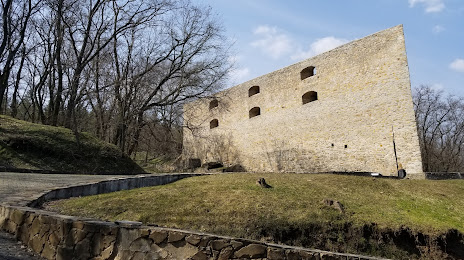
Chynadiyovo
Tahtaulove
Rayko
Pereyaslav-Khmelnitsky
Baranivka
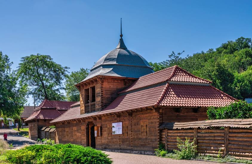
Ustilug
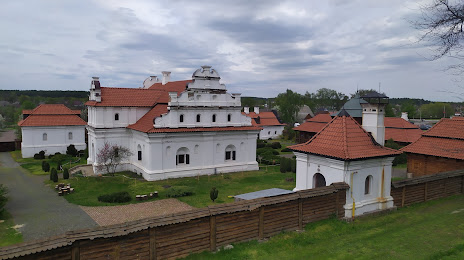
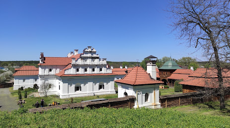
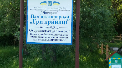
Korsun-Shevchenko
Great Dymerka
Trostianets
Polyanytsya
Preslav
Horonda
Rozovka
Chynadiyovo
Tahtaulove
Rayko
Pereyaslav-Khmelnitsky
Baranivka
Ustilug
Korsun-Shevchenko
Great Dymerka
Trostianets
Polyanytsya
Preslav  Karvynivka
Stone Kashyrskyi
Sokolivka
Deremezna
Yatsky
Valley
Karvynivka
Stone Kashyrskyi
Sokolivka
Deremezna
Yatsky
Valley
Chyhyryn on the map, Ukraine
Where is located Chyhyryn
Exact location — Chyhyryn, Chigirinsky district, Cherkasy region, Ukraine, marked on the map with a red marker.
Coordinates
Chyhyryn, Ukraine coordinates in decimal format: latitude — 49.0730544, longitude — 32.6617808. When converted to degrees, minutes, seconds Chyhyryn has the following coordinates: 49°4′23 north latitude and 32°39′42.41 east longitude.
Exact time
Time zone for this location Chyhyryn — UTC +3 Europe/Kiev. Exact time — sunday, 7 july 2024 year, 06 h. 27 minutes.
Sunrise and sunset
Chyhyryn, sunrise and sunset data for a date — sunday 14.07.2024.
| Sunrise | Sunset | Day (duration) |
|---|---|---|
| 05:04 +1 minute | 20:45 -1 minute | 15 h. 42 minutes. -2 minutes |
You can control the scale of the map using the auxiliary tools to find out exactly where it is located Chyhyryn. When you change the scale of the map, the width of the ruler also changes (in kilometers and miles).
Nearby cities
The largest cities that are located nearby:
- Kremenchuk — 54 km
- Cherkasy — 60 km
- Kirovohrad — 69 km
- Kryvyi Rih — 139 km
- Poltava — 147 km
- Dniprodzerzhyns'k — 155 km
- Bila Tserkva — 199 km
- Nikopol' — 211 km
- Pavlohrad — 243 km
- Sumy — 252 km
- Kherson — 270 km
- Chernihiv — 284 km
- Zhytomyr — 312 km
- Melitopol' — 321 km
- Odessa — 322 km
- Belgorod
 (Russia) — 324 km
 - Bender
 (Moldova) — 347 km
 - Chisinau (Moldova) — 364 km
- Kursk (Russia) — 377 km
Distance to neighboring capitals:
- Chisinau (Moldova) — 362 km
- Minsk
 (Belarus) — 643 km
 - Bucharest
 (Romania) — 718 km
 - Vilnius
 (Lithuania) — 803 km
 - Moscow (Russia) — 815 km
- Warsaw
 (Poland) — 892 km
 - Sofia
 (Bulgaria) — 1011 km
 - Budapest
 (Hungary) — 1022 km
 - Belgrade
 (Serbia) — 1041 km
 - Rīga
 (Latvia) — 1045 km
 - Bratislava
 (Slovakia) — 1147 km
 - Vienna
 (Austria) — 1199 km
 - Tbilisi
 (Georgia) — 1249 km
 - Prague
 (Czech Republic) — 1316 km
 - Helsinki
 (Finland) — 1329 km
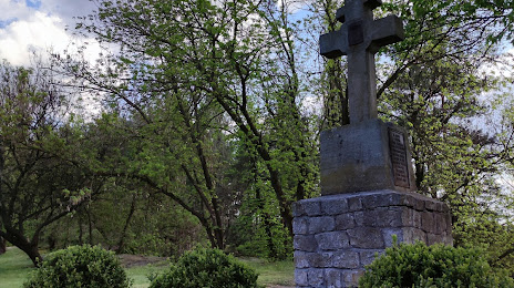
Attractions
Distance to the capital
Distance to the capital (Kyiv) is about — 217 km.