
 Rexton
Heron Bay
Oxbow
Maple Creek
Sutton
Carlyle
Ormstown
Gore Bay
Dundurn
Warwick
Wellington
Sydenham
Saint-Rémi
Kenora
Brooks
Bow Island
Mackenzie
Treherne
Fernie
Rexton
Heron Bay
Oxbow
Maple Creek
Sutton
Carlyle
Ormstown
Gore Bay
Dundurn
Warwick
Wellington
Sydenham
Saint-Rémi
Kenora
Brooks
Bow Island
Mackenzie
Treherne
Fernie
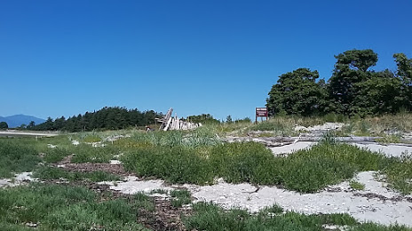
Comox on the map, Canada
Where is located Comox
Exact location — Comox, Strathcona, British Columbia, Canada, marked on the map with a red marker.
Coordinates
Comox, Canada coordinates in decimal format: latitude — 49.6735133, longitude — -124.9282659. When converted to degrees, minutes, seconds Comox has the following coordinates: 49°40′24.65 north latitude and -124°55′41.76 east longitude.
Population
Comox, Strathcona, British Columbia, Canada, according to our data the population is — 12,136 residents, which is about 0% of the total population of the country (Canada).
Comparison of the population on the graph:
Exact time
Time zone for this location Comox — UTC -7 America/Vancouver. Exact time — tuesday, 7 july 2024 year, 11 h. 03 minutes.
Sunrise and sunset
Comox, sunrise and sunset data for a date — tuesday 2.07.2024.
| Sunrise | Sunset | Day (duration) |
|---|---|---|
| 05:22 +1 minute | 21:25 -0 minutes | 16 h. 6 minutes. -1 minute |
You can control the scale of the map using the auxiliary tools to find out exactly where it is located Comox. When you change the scale of the map, the width of the ruler also changes (in kilometers and miles).
Nearby cities
The largest cities that are located nearby:
- Vancouver — 137 km
- Richmond — 141 km
- Burnaby — 148 km
- Delta — 152 km
- Anmore — 155 km
- Surrey — 160 km
- Coquitlam — 160 km
- Victoria — 179 km
- Abbotsford — 200 km
- Seattle
 (United States) — 299 km
 - Bellevue (United States) — 306 km
- Tacoma (United States) — 326 km
- Kelowna — 388 km
- Portland (United States) — 491 km
- Salem (United States) — 544 km
- Spokane (United States) — 601 km
- Eugene (United States) — 638 km
- Calgary — 770 km
- Edmonton — 865 km
Distance to neighboring capitals:
- Washington (United States) — 3922 km
- Mexico City
 (Mexico) — 4068 km
 - Nuuk
 (Greenland) — 4432 km
 - Saint John
 (Puerto Rico) — 6228 km
 - Hagåtña
 (Guam) — 8895 km
 - Belgrade
 (Serbia) — 8992 km
 - Podgorica
 (Montenegro) — 9198 km
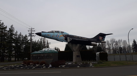
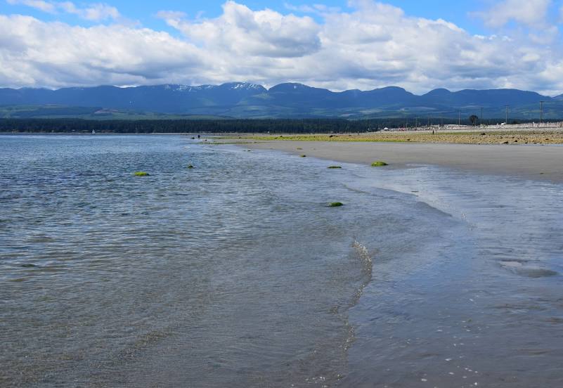
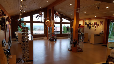
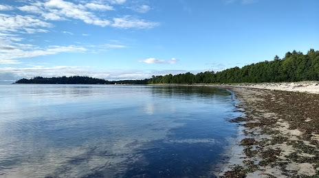
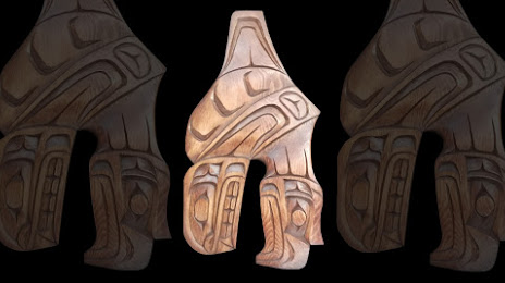
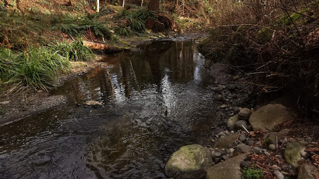
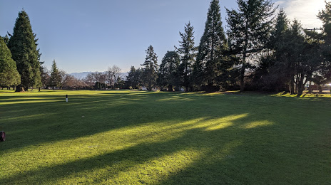
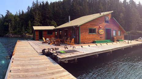
Attractions


Distance to the capital
Distance to the capital (Ottawa) is about — 3659 km.