Detroit Metropolitan Wayne County Airport — Concord
Detroit Metropolitan Wayne County Airport — Osage Beach
Detroit Metropolitan Wayne County Airport — Glen Allen
Detroit Metropolitan Wayne County Airport — Orleans Airport
Detroit Metropolitan Wayne County Airport — Dazey
Detroit Metropolitan Wayne County Airport — Glen Allen
Detroit Metropolitan Wayne County Airport — Butler County Regional Airport - Hogan Field
Detroit Metropolitan Wayne County Airport — Homewood
Detroit Metropolitan Wayne County Airport — Lyndell
Detroit Metropolitan Wayne County Airport — Del Valle
Detroit Metropolitan Wayne County Airport — Okanogan
Detroit Metropolitan Wayne County Airport — Happy Camp
Detroit Metropolitan Wayne County Airport — Poestenkill
Detroit Metropolitan Wayne County Airport — Batum
Detroit Metropolitan Wayne County Airport — Canyon County
Detroit Metropolitan Wayne County Airport — Arctic
Detroit Metropolitan Wayne County Airport — Arapahoe County
Detroit Metropolitan Wayne County Airport — Fort Ogden
Detroit Metropolitan Wayne County Airport — Mooresboro
See how the reverse distance goes.
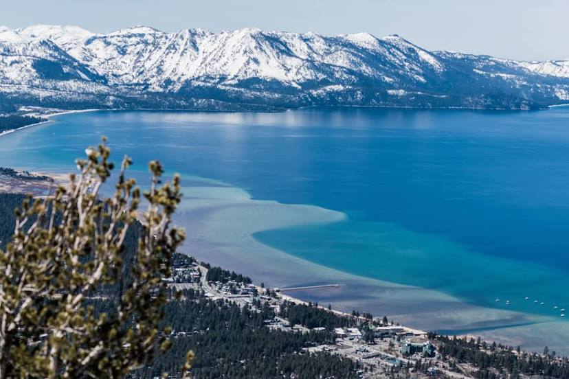
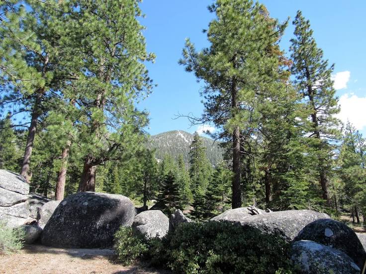
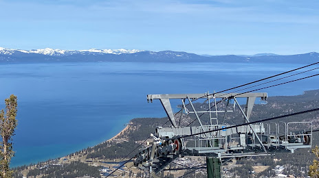
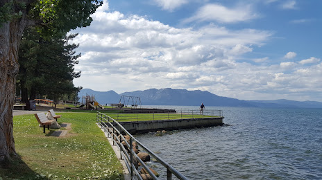
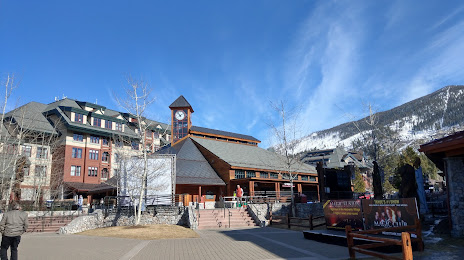
South Lake Tahoe — Detroit Metropolitan Wayne County AirportDetroit Metropolitan Wayne County Airport — South Lake Tahoe distance, route on the map
Distance by car
Distance between Detroit Metropolitan Wayne County Airport, Michigan, United States and South Lake Tahoe, California, United States by car is — km, or miles. To travel this distance by car, you need minute, or h.
Route on the map, driving directions
Car route Detroit Metropolitan Wayne County Airport — South Lake Tahoe was created automatically. The road on the map is shown as a blue line. By moving the markers, you can create a new route through the points you need.
Distance by plane
If you decide to take a trip Detroit Metropolitan Wayne County Airport South Lake Tahoe by plane, then you have to fly the distance — 3091 km or 1916 miles. It is marked on the map with a gray line (between two points in a straight line).
Flight time
Estimated flight time Detroit Metropolitan Wayne County Airport South Lake Tahoe by plane at cruising speed 750 km / h will be — 4 h. and 7 min.
Direction of movement
United States, Detroit Metropolitan Wayne County Airport — right-hand traffic. United States, South Lake Tahoe — right-hand traffic.
Difference in time
Detroit Metropolitan Wayne County Airport and South Lake Tahoe are in different time zones. The time difference is 3 hours (UTC -4 America/New_York, UTC -7 America/Los_Angeles).
Interesting Facts
Information on alternative ways to get to your destination.
The length of this distance is about 7.7% of the total length of the equator.
The cost of travel
Calculate the cost of the trip yourself using the fuel consumption calculator, changing the data in the table.