Las Vegas — Solon
Las Vegas — Huddleston
Las Vegas — Lakemont
Las Vegas — Independence
Las Vegas — Snoqualmie
Las Vegas — South Fallsburg
Las Vegas — Atkinson
Las Vegas — Concord
Las Vegas — Pikesville
Las Vegas — Saugus
Las Vegas — Wauconda
Las Vegas — Green County
Las Vegas — Nickerson
Las Vegas — Port Lions
Las Vegas — Chardon
Las Vegas — Canjilon
Las Vegas — Imlaystown
Las Vegas — Raeford
Las Vegas — Rochester
Jean Airport
Primm
Baker Airport
Yermo
Daggett
Barstow
Hutt
Oro Grande
Victorville
Hesperia
Cajon Junction
Lytle Creek
Fontana
Rancho Cucamonga
LA/Ontario International Airport
Ontario
Norco
Corona
Yorba Linda
Foothill Ranch
Irvine
Lake Forest
Laguna Woods
Laguna Hills
Mission Viejo
Mission Viejo
San Juan Capistrano
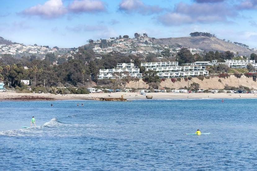
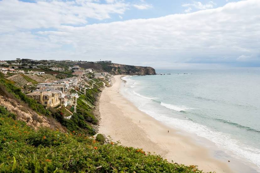
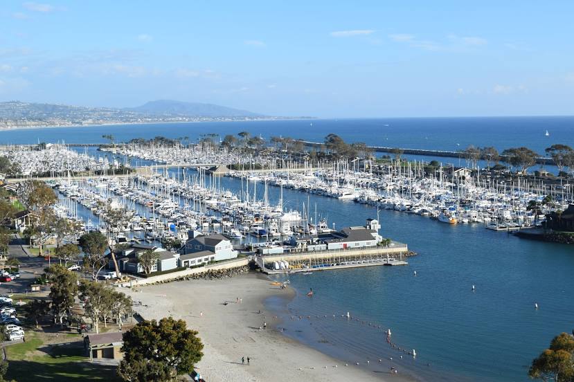
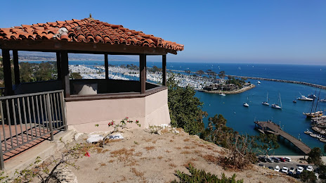
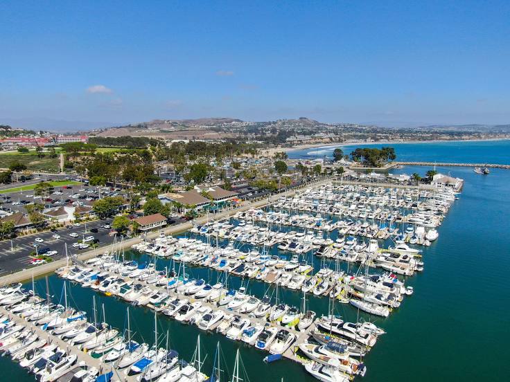
Las Vegas — Dana Point distance, route on the map
Distance by car
Distance between Las Vegas, Nevada, United States and Dana Point, California, United States by car is — km, or miles. To travel this distance by car, you need minute, or h.
Route on the map, driving directions
Car route Las Vegas — Dana Point was created automatically. The road on the map is shown as a blue line. By moving the markers, you can create a new route through the points you need.
Passing cities through which the car route passes: McCarran International Airport, Jean Airport, Primm, Baker Airport, Yermo, Daggett, Barstow, Hutt, Oro Grande, Victorville, Hesperia, Cajon Junction, Lytle Creek, Fontana, Rancho Cucamonga, LA/Ontario International Airport, Ontario, Norco, Corona, Yorba Linda, Foothill Ranch, Irvine, Lake Forest, Laguna Woods, Laguna Hills, Mission Viejo, Mission Viejo, San Juan Capistrano.
Distance by plane
If you decide to take a trip Las Vegas Dana Point by plane, then you have to fly the distance — 373 km or 231 miles. It is marked on the map with a gray line (between two points in a straight line).
Flight time
Estimated flight time Las Vegas Dana Point by plane at cruising speed 750 km / h will be — 29 min.
Direction of movement
United States, Las Vegas — right-hand traffic. United States, Dana Point — right-hand traffic.
Difference in time
Las Vegas and Dana Point are in the same time zone. Between them there is no time difference (UTC -7 America/Los_Angeles).
Interesting Facts
Information on alternative ways to get to your destination.
The length of this distance is about 0.9% of the total length of the equator.
The percentage of the population is clearly shown in the graph:
Las Vegas — 583,756, Dana Point — 35,870 residents (less by 547,886).
The cost of travel
Calculate the cost of the trip yourself using the fuel consumption calculator, changing the data in the table.