
 Pointe-à-la-Croix
Sainte-Irène, Quebec
Marsoui
Hecla
Muskrat Dam
Wunnummin Lake
Sainte-Brigitte-de-Laval
Drayton
Mauricie
Pointe-à-la-Croix
Sainte-Irène, Quebec
Marsoui
Hecla
Muskrat Dam
Wunnummin Lake
Sainte-Brigitte-de-Laval
Drayton
Mauricie
Chief Whitecap Park on the map, Saskatoon, Canada
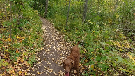
Photo
Where is located Chief Whitecap Park
Chief Whitecap Park — local attraction, which is located at Saskatchewan S0K 1V0, Canada and belongs to the category — dog park. Average visitor rating for this place — 4.9 (according to 114 ratings, information from open sources and relevant for 2022).
Exact location — Chief Whitecap Park, marked on the map with a red marker.
You can get directions to Chief Whitecap Park on the map from your location.
What else is interesting in Saskatoon? You can see all the sights if you go to the city page.
Coordinates
Chief Whitecap Park, Canada coordinates in decimal format: latitude — 52.15330146390931, longitude — -106.65454192617021. When converted to degrees, minutes, seconds Chief Whitecap Park has the following coordinates: 52°9′11.89 north latitude and -106°39′16.35 east longitude.
Nearby cities
The largest cities that are located nearby:
- Regina — 236 km
- Edmonton — 475 km
- Calgary — 528 km
- Winnipeg — 722 km
- Spokane
 (United States) — 941 km
 - Kelowna — 947 km
- Abbotsford — 1185 km
- Coquitlam — 1205 km
- Anmore — 1208 km
- Boise (United States) — 1212 km
- Surrey — 1214 km
- Burnaby — 1218 km
- Vancouver — 1228 km
- Delta — 1231 km
- Richmond — 1235 km
- Sioux Falls (United States) — 1239 km
- Bellevue (United States) — 1261 km
- Seattle (United States) — 1270 km
- Fort Collins (United States) — 1284 km
Distance to the capital
Distance to the capital (Ottawa) is about — 2368 km.