
 Pointe-à-la-Croix
Sainte-Irène, Quebec
Marsoui
Hecla
Muskrat Dam
Wunnummin Lake
Sainte-Brigitte-de-Laval
Drayton
Mauricie
Pointe-à-la-Croix
Sainte-Irène, Quebec
Marsoui
Hecla
Muskrat Dam
Wunnummin Lake
Sainte-Brigitte-de-Laval
Drayton
Mauricie
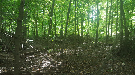
Summit Woods on the map, Westmount, Canada
Photo
Where is located Summit Woods
Summit Woods — local attraction, which is located at 36 Summit Cir, Westmount, Quebec H3Y 1B3, Canada and belongs to the category — park. Average visitor rating for this place — 4.7 (according to 638 ratings, information from open sources and relevant for 2022).
Exact location — Summit Woods, marked on the map with a red marker.
You can get directions to Summit Woods on the map from your location.
What else is interesting in Westmount? You can see all the sights if you go to the city page.
Coordinates
Summit Woods, Canada coordinates in decimal format: latitude — 45.49197342316975, longitude — -73.60720100191672. When converted to degrees, minutes, seconds Summit Woods has the following coordinates: 45°29′31.1 north latitude and -73°36′25.92 east longitude.
Nearby cities
The largest cities that are located nearby:
- Montreal — 3 km
- Longueuil — 9 km
- Laval — 16 km
- Trois-Rivières — 124 km
- Sherbrooke — 133 km
- Gatineau — 163 km
- Levis — 226 km
- Quebec — 230 km
- Kingston — 268 km
- Manchester
 (United States) — 325 km
 - Syracuse (United States) — 339 km
- Amherst (United States) — 359 km
- Lowell (United States) — 366 km
- Saguenay — 374 km
- Springfield (United States) — 383 km
- Worcester (United States) — 385 km
- Cambridge (United States) — 400 km
- Boston (United States) — 403 km
- Rochester (United States) — 413 km
Distance to the capital
Distance to the capital (Ottawa) is about — 163 km.