
Kapan on the map, Armenia
Where is located Kapan
Exact location — Kapan, Syunik, Armenia, marked on the map with a red marker.
Coordinates
Kapan, Armenia coordinates in decimal format: latitude — 39.2077209, longitude — 46.4067952. When converted to degrees, minutes, seconds Kapan has the following coordinates: 39°12′27.8 north latitude and 46°24′24.46 east longitude.
Population
Kapan, Syunik, Armenia, according to our data the population is — 33,161 residents, which is about 1.1% of the total population of the country (Armenia).
Comparison of the population on the graph:
Exact time
Time zone for this location Kapan — UTC +4 Asia/Yerevan. Exact time — monday, 7 july 2024 year, 04 h. 42 minutes.
Sunrise and sunset
Kapan, sunrise and sunset data for a date — monday 15.07.2024.
| Sunrise | Sunset | Day (duration) |
|---|---|---|
| 05:44 +1 minute | 20:16 -1 minute | 14 h. 30 minutes. -2 minutes |
You can control the scale of the map using the auxiliary tools to find out exactly where it is located Kapan. When you change the scale of the map, the width of the ruler also changes (in kilometers and miles).
Nearby cities
The largest cities that are located nearby:
- Marand
 (Iran) — 103 km
 - Tabriz (Iran) — 126 km
- Parsabad (Iran) — 138 km
- Khoy (Iran) — 145 km
- Maragheh (Iran) — 202 km
- Vanadzor — 238 km
- Miandoab (Iran) — 249 km
- Van
 (Turkey) — 274 km
 - Gyumri — 277 km
- Mahabad (Iran) — 277 km
- Bukan (Iran) — 298 km
- Tbilisi
 (Georgia) — 308 km
 - Baku
 (Azerbaijan) — 320 km
 - Zanjan (Iran) — 336 km
- Derbent
 (Russia) — 351 km
 - Rasht (Iran) — 351 km
- Erbil
 (Iraq) — 396 km
 - Siirt (Turkey) — 414 km
- Makhachkala (Russia) — 425 km
Distance to neighboring capitals:
- Tbilisi (Georgia) — 311 km
- Tehran (Iran) — 590 km
- Baghdad (Iraq) — 678 km
- Ashgabat
 (Turkmenistan) — 1049 km
 - Ankara (Turkey) — 1164 km
- Moscow (Russia) — 1952 km
- Athens
 (Greece) — 1971 km
 - Islamabad
 (Pakistan) — 2454 km
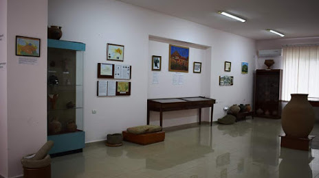
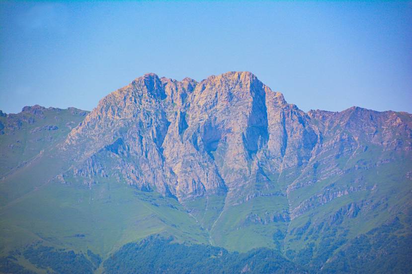
Attractions


Distance to the capital
Distance to the capital (Yerevan) is about — 195 km.