

Chennai Lighthouse on the map, Chennai, India
Photo
Where is located Chennai Lighthouse
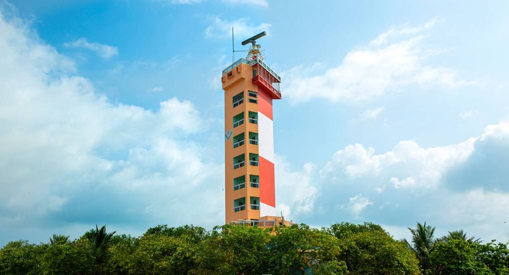
Chennai Lighthouse — local attraction, which is located at Marina Beach Road, Marina Beach, Mylapore, Chennai, Tamil Nadu 600004, India and belongs to the category — lighthouse. Average visitor rating for this place — 4.5 (according to 9004 ratings, information from open sources and relevant for 2022).
Exact location — Chennai Lighthouse, marked on the map with a red marker.
You can get directions to Chennai Lighthouse on the map from your location.
What else is interesting in Chennai? You can see all the sights if you go to the city page.
Coordinates
Chennai Lighthouse, India coordinates in decimal format: latitude — 13.044477634168542, longitude — 80.20488102375188. When converted to degrees, minutes, seconds Chennai Lighthouse has the following coordinates: 13°2′40.12 north latitude and 80°12′17.57 east longitude.
Nearby cities
The largest cities that are located nearby:
- Kanchipuram — 67 km
- Tirupati — 110 km
- Vellore — 124 km
- Puducherry — 138 km
- Nellore — 153 km
- Cuddalore — 158 km
- Tiruvannamalai — 160 km
- Kolar — 230 km
- Kumbakonam — 253 km
- Hosur — 267 km
- Salem — 278 km
- Thanjavur — 282 km
- Tiruchirappalli — 305 km
- Erode — 340 km
- Machilipatnam — 356 km
- Jaffna
 (Sri Lanka) — 379 km
 - Vijayawada — 381 km
- Tiruppur — 386 km
- Eluru — 411 km
Distance to the capital
Distance to the capital (New Delhi) is about — 1759 km.