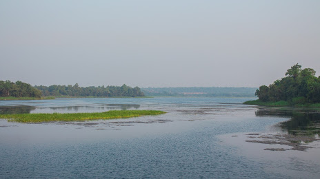
Tadoba-Andhari National Park on the map, Nagpur, India
Photo

Where is located Tadoba-Andhari National Park
Tadoba-Andhari National Park — local attraction, which is located at no data and belongs to the category — -. Average visitor rating for this place — 4.4 (according to 511 ratings, information from open sources and relevant for 2022).
Exact location — Tadoba-Andhari National Park, marked on the map with a red marker.
You can get directions to Tadoba-Andhari National Park on the map from your location.
What else is interesting in Nagpur? You can see all the sights if you go to the city page.
Coordinates
Tadoba-Andhari National Park, India coordinates in decimal format: latitude — 21.19669467111794, longitude — 79.03637936782341. When converted to degrees, minutes, seconds Tadoba-Andhari National Park has the following coordinates: 21°11′48.1 north latitude and 79°2′10.97 east longitude.
Nearby cities
The largest cities that are located nearby:
- Chhindwara — 102 km
- Seoni — 114 km
- Achalpur — 163 km
- Akola — 222 km
- Durg — 226 km
- Jabalpur — 239 km
- Raipur — 262 km
- Bhopal — 289 km
- Khandwa — 291 km
- Bilaspur — 329 km
- Jalna — 364 km
- Indore — 373 km
- Bidar — 393 km
- Lalitpur — 397 km
- Korba — 398 km
- Ujjain — 404 km
- Aurangabad — 414 km
- Secunderabad — 414 km
- Hyderabad — 421 km
Distance to the capital
Distance to the capital (New Delhi) is about — 845 km.

