
 Velykyi Bychkiv
  Karlivka
Delyatyn
Lypovets'
Rozdil'na
Krasnyi Luch
Bohodukhiv
Reni
Stepan'
Lubny
Lyubotyn
Sosnivka
Karla Marksa
Voznesens'k
Vovchans'k
Ilovais'k
Synel'nykove
Petrove
Rykhtychi
Karlivka
Delyatyn
Lypovets'
Rozdil'na
Krasnyi Luch
Bohodukhiv
Reni
Stepan'
Lubny
Lyubotyn
Sosnivka
Karla Marksa
Voznesens'k
Vovchans'k
Ilovais'k
Synel'nykove
Petrove
Rykhtychi
Brody on the map, Ukraine
Where is located Brody
Exact location — Brody, Brodivs'kyi district, Lviv Oblast, Ukraine, marked on the map with a red marker.
Coordinates
Brody, Ukraine coordinates in decimal format: latitude — 50.083141, longitude — 25.15. When converted to degrees, minutes, seconds Brody has the following coordinates: 50°4′59.31 north latitude and 25°9′0 east longitude.
Population
Brody, Brodivs'kyi district, Lviv Oblast, Ukraine, according to our data the population is — 22,375 residents, which is about 0.1% of the total population of the country (Ukraine).
Comparison of the population on the graph:
Exact time
Time zone for this location Brody — UTC +3 Europe/Kiev. Exact time — sunday, 7 july 2024 year, 07 h. 49 minutes.
Sunrise and sunset
Brody, sunrise and sunset data for a date — sunday 14.07.2024.
| Sunrise | Sunset | Day (duration) |
|---|---|---|
| 05:30 +1 minute | 21:20 -0 minutes | 15 h. 48 minutes. -1 minute |
You can control the scale of the map using the auxiliary tools to find out exactly where it is located Brody. When you change the scale of the map, the width of the ruler also changes (in kilometers and miles).
Nearby cities
The largest cities that are located nearby:
- Rivne — 97 km
- Chernivtsi — 206 km
- Lublin
 (Poland) — 220 km
 - Rzeszow (Poland) — 224 km
- Pinsk
 (Belarus) — 234 km
 - Brest (Belarus) — 243 km
- Zhytomyr — 249 km
- Uzhhorod — 264 km
- Suceava
 (Romania) — 281 km
 - Botoșani (Romania) — 282 km
- Baia Mare (Romania) — 292 km
- Tarnow (Poland) — 296 km
- Satu Mare (Romania) — 304 km
- Radom (Poland) — 312 km
- Košice
 (Slovakia) — 321 km
 - Kielce (Poland) — 327 km
- Balti
 (Moldova) — 330 km
 - Salihorsk (Belarus) — 339 km
- Baranovichi (Belarus) — 341 km
Distance to neighboring capitals:
- Warsaw (Poland) — 374 km
- Chisinau (Moldova) — 441 km
- Minsk (Belarus) — 456 km
- Vilnius
 (Lithuania) — 512 km
 - Budapest
 (Hungary) — 532 km
 - Bratislava (Slovakia) — 624 km
- Bucharest (Romania) — 633 km
- Vienna
 (Austria) — 671 km
 - Belgrade
 (Serbia) — 687 km
 - Prague
 (Czech Republic) — 764 km
 - Rīga
 (Latvia) — 767 km
 - Sofia
 (Bulgaria) — 833 km
 - Moscow
 (Russia) — 1045 km
 - Helsinki
 (Finland) — 1122 km
 - Tbilisi
 (Georgia) — 1774 km
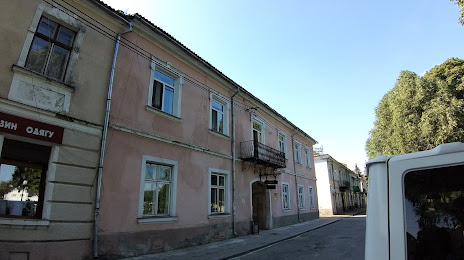
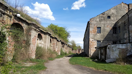
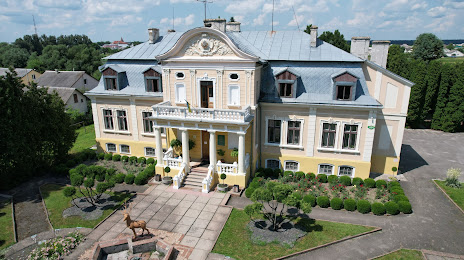
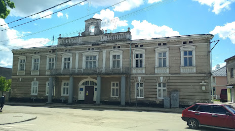
Attractions
Distance to the capital
Distance to the capital (Kyiv) is about — 384 km.